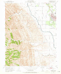
1953 Map of Patterson
USGS Topo · Published 1965About this map
Patterson anchors this mid-century landscape where the agricultural grid of the San Joaquin Valley meets the rising terrain of the Diablo Range. The town's distinctive radial street design, centered on City Hall, is clearly visible alongside the Southern Pacific railroad line. This era captures the critical infrastructure of California's Central Valley water management, dominated by the massive Delta-Mendota Canal and its associated waterworks, including the Vanormer Pumping Station and several irrigation laterals such as Lateral 1.
Find a feature on this map
42 named features on this map. Tap any name to fly to it.
Don’t see what you’re looking for? This feature index may not catch every label — zoom into the map to look around manually.
Map Details
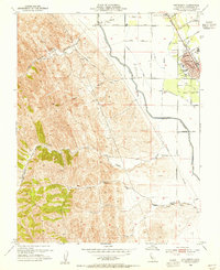
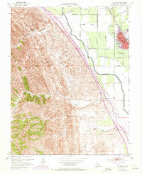
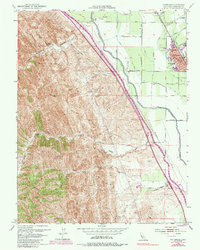
Editions of this 1953 Patterson Map
4 editions found
Other maps of this area

1913 · Romain
USGS Topo · 1:31,680

1915 · Westport
USGS Topo · 1:31,680

1915 · Westley
USGS Topo · 1:31,680

1916 · Crows Landing
USGS Topo · 1:31,680

1916 · Patterson
USGS Topo · 1:31,680

1916 · Romain
USGS Topo · 1:31,680

1917 · Newman
USGS Topo · 1:31,680

1919 · Orestimba
USGS Topo · 1:62,500

1919 · Orestimba Creek
USGS Topo · 1:31,680

1922 · Carbona
USGS Topo · 1:62,500