
1902 Map of Pauls Valley
USGS Topo · Published 1902About this map
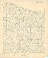
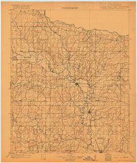
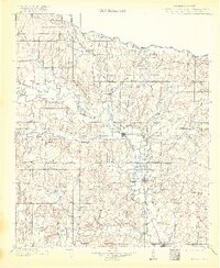
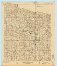
Pauls Valley serves as a central hub in this Chickasaw Nation territory, situated where the Gulf Colorado and Santa Fe railroad tracks parallel the winding Washita River. The survey reveals a landscape defined by its intricate drainage systems, including the Rush Creek and Wildhorse Creek basins, which supported a network of early settlements like Whitebead, Wynnewood, and Paoli shortly before Oklahoma statehood.
Find a feature on this map
49 named features on this map. Tap any name to fly to it.
Don’t see what you’re looking for? This feature index may not catch every label — zoom into the map to look around manually.
Map Details
Editions of this 1902 Pauls Valley Map
5 editions found
Other maps of this area

1893 · Norman
USGS Topo · 1:62,500

1896 · Seminole and Prague
USGS Topo · 1:125,000

1898 · Purcell
USGS Topo · 1:125,000

1898 · Pauls Valley
USGS Topo · 1:125,000

1901 · Stonewall
USGS Topo · 1:125,000

1901 · Addington
USGS Topo · 1:125,000

1901 · Tishomingo
USGS Topo · 1:125,000

1901 · Ardmore
USGS Topo · 1:125,000

1902 · Rush Springs
USGS Topo · 1:125,000

1904 · Chickasha
USGS Topo · 1:125,000