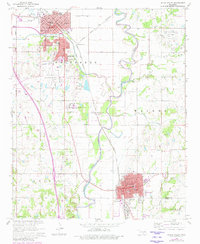
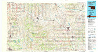
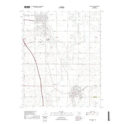
1965 Map of Pauls Valley
USGS Topo · Published 1980About this map
Washita River meanders through the heart of this mid-century survey, dividing the agricultural and industrial landscapes of central Garvin County. The regional economy is defined by extensive energy production, visible through the East Pauls Valley Oil Field, Southeast Pauls Valley Oil Field, and a prominent Oil Refinery located south of Wynnewood. The rail infrastructure is particularly dense, with the Gulf Colorado and Santa Fe and Atchison Topeka and Santa Fe meeting at Gulf Junction.
Find a feature on this map
51 named features on this map. Tap any name to fly to it.
Don’t see what you’re looking for? This feature index may not catch every label — zoom into the map to look around manually.
Map Details
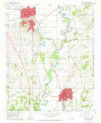
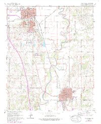
Editions of this 1965 Pauls Valley Map
3 editions found
Historical Maps of Pauls Valley Through Time
9 maps found

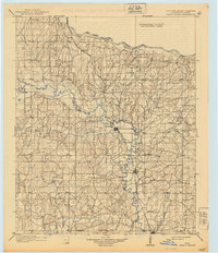
1898 Pauls Valley
Garvin County, OK
1902 Pauls Valley
Garvin County, OK
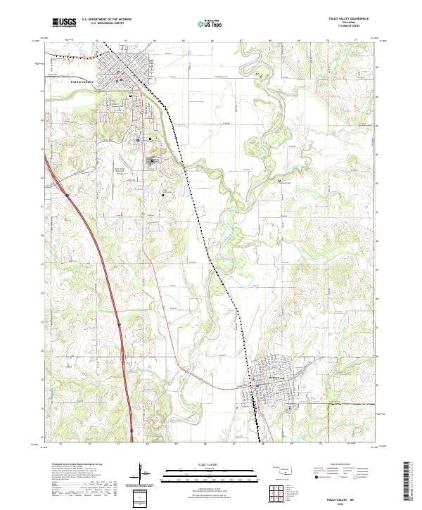
1965 Pauls Valley
Garvin County, OK
1986 Pauls Valley
Garvin County, OK
2009 Pauls Valley
Garvin County, OK
2012 Pauls Valley
Garvin County, OK
2016 Pauls Valley
Garvin County, OK
2018 Pauls Valley
Garvin County, OK
2022 Pauls Valley
Garvin County, OK