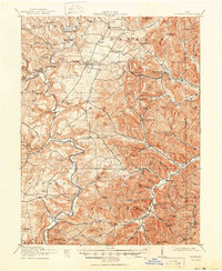
1918 Map of Peebles
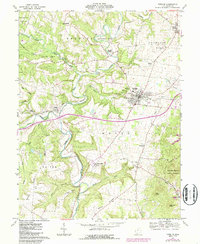
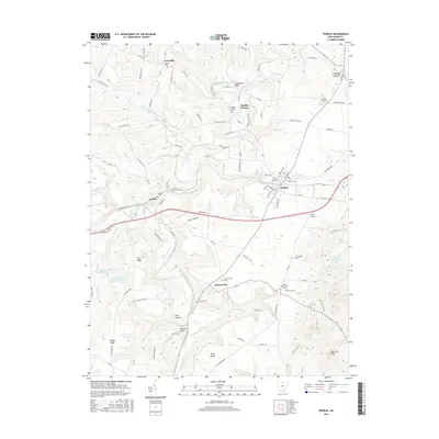
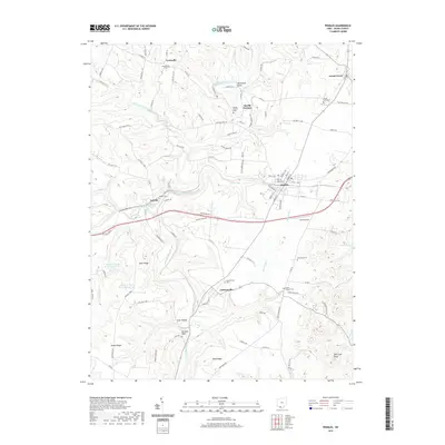
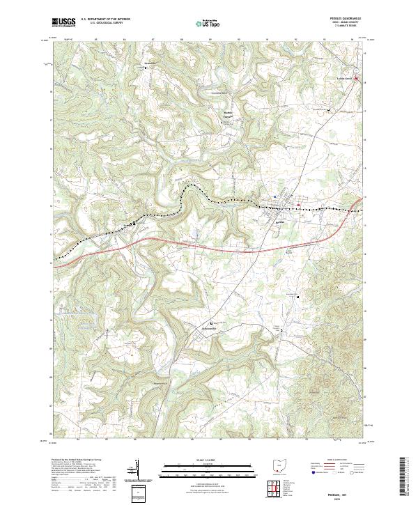
USGS Topo · Published 1950About this map
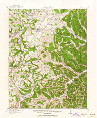
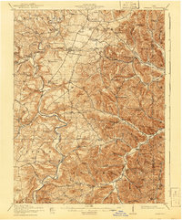
Peebles serves as a central hub in this Southern Ohio landscape during the First World War era, situated where the Norfolk and Western railroad crosses the Plain. The map reveals a densely settled rural society defined by an extraordinary concentration of country schoolhouses, such as the Steam Furnace School, Measley School, and Mt Zion School, reflecting the local education system before mid-century consolidation. The topography transitions from the flatter northern townships like Franklin to the deeply dissected ridges of the south. Named landmarks like Buzzardroost Rock and elevations like Peach Mtn and Pine Knob overlook a network of waterways including Ohio Brush Creek and Turkey Creek. In the eastern reaches, Mineral Springs and Mineral Springs Sta indicate the region's historical significance as a destination for those seeking the purported benefits of local mineral waters.
Find a feature on this map
120 named features on this map. Tap any name to fly to it.
Don’t see what you’re looking for? This feature index may not catch every label — zoom into the map to look around manually.
Map Details
Editions of this 1918 Peebles Map
2 editions found
Historical Maps of Peebles Through Time
8 maps found