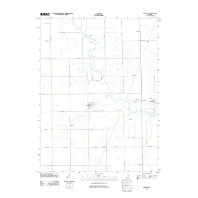
2012 Map of Penfield
USGS Topo · Published 2012About this map
The Middle Fork Vermilion River winds through this rural section of Vermilion County, shaping a landscape of agricultural tradition and small crossroads settlements. This 2012 survey documents the enduring layout of townships defined by an orderly grid of county roads, such as Co RD-3200 and E 3400 N RD, which connect the communities of Armstrong, Penfield, Ellis, and Gerald. For those researching local family history, the map provides precise locations for several burial grounds, including Chenoweth Cem, Tomlinson Cem, and Welles Cem.
Find a feature on this map
49 named features on this map. Tap any name to fly to it.
Don’t see what you’re looking for? This feature index may not catch every label — zoom into the map to look around manually.
Map Details
Editions of this 2012 Penfield Map
This is the sole edition of this map. No revisions or reprints were ever made.
Other maps of this area

1906 · Urbana
USGS Topo · 1:62,500

1924 · Paxton
USGS Topo · 1:62,500

1927 · Paxton
USGS Topo · 1:62,500

1931 · Fithian
USGS Topo · 1:48,000

1936 · Potomac
USGS Topo · 1:62,500

1943 · Fithian
USGS Topo · 1:62,500

1949 · Paxton
USGS Topo · 1:62,500

1953 · Danville
USGS Topo · 1:250,000

1955 · Danville
USGS Topo · 1:250,000

1956 · Danville
USGS Topo · 1:250,000