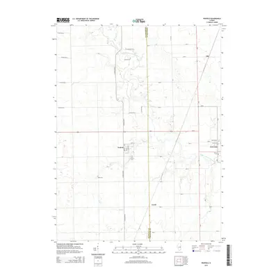
2015 Map of Penfield
USGS Topo · Published 2015About this map
The Middle Fork Vermilion River carves a winding path through this corner of East Central Illinois, defining the rural landscape between the settlements of Penfield and Armstrong. The area’s agricultural heritage is etched into the rectilinear road grid, which is punctuated by small family and community burial grounds such as Tomlinson Cem, Welles Cem, and Chenoweth Cem. In the village of Penfield, the street plan is anchored by Front St, West St, and East St, while Saint Lawrence Cem lies just to the south. Tributaries like Buck Cr and Sugar Cr drain the surrounding fields, highlighting the importance of the local watershed to this farming region. The map preserves the precise location of smaller locales like Gerald and Ellis, which served as vital connection points in the Vermilion and Champaign County borderlands.
Find a feature on this map
38 named features on this map. Tap any name to fly to it.
Don’t see what you’re looking for? This feature index may not catch every label — zoom into the map to look around manually.
Map Details
Editions of this 2015 Penfield Map
This is the sole edition of this map. No revisions or reprints were ever made.
Other maps of this area

1906 · Urbana
USGS Topo · 1:62,500

1924 · Paxton
USGS Topo · 1:62,500

1927 · Paxton
USGS Topo · 1:62,500

1931 · Fithian
USGS Topo · 1:48,000

1936 · Potomac
USGS Topo · 1:62,500

1943 · Fithian
USGS Topo · 1:62,500

1949 · Paxton
USGS Topo · 1:62,500

1953 · Danville
USGS Topo · 1:250,000

1955 · Danville
USGS Topo · 1:250,000

1956 · Danville
USGS Topo · 1:250,000