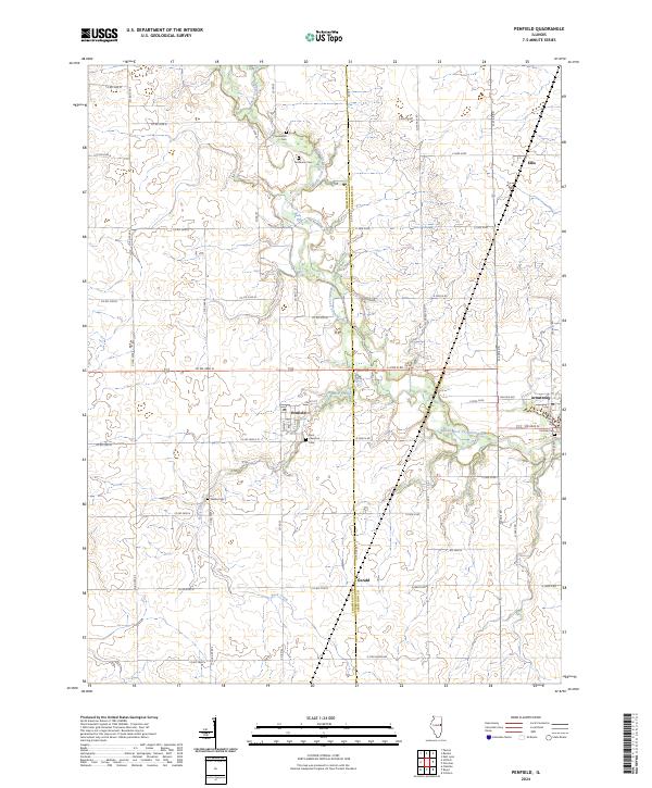
2024 Map of Penfield
USGS Topo · Published 2024About this map
Middle Fork Vermilion River carves a winding path through this east-central Illinois agricultural landscape, forming a natural boundary line between Champaign and Vermilion counties. The settlement of Penfield serves as a local hub, situated near the intersection of Main St and Front St, with the Saint Lawrence Cem located just to its south. The map reflects a deeply rooted rural community, evidenced by several small family and parish cemeteries scattered across the township, including Chenoweth Cem, Tomlinson Cem, and Welles Cem.
Find a feature on this map
53 named features on this map. Tap any name to fly to it.
Don’t see what you’re looking for? This feature index may not catch every label — zoom into the map to look around manually.
Map Details
Editions of this 2024 Penfield Map
This is the sole edition of this map. No revisions or reprints were ever made.
Other maps of this area

1906 · Urbana
USGS Topo · 1:62,500

1924 · Paxton
USGS Topo · 1:62,500

1927 · Paxton
USGS Topo · 1:62,500

1931 · Fithian
USGS Topo · 1:48,000

1936 · Potomac
USGS Topo · 1:62,500

1943 · Fithian
USGS Topo · 1:62,500

1949 · Paxton
USGS Topo · 1:62,500

1953 · Danville
USGS Topo · 1:250,000

1955 · Danville
USGS Topo · 1:250,000

1956 · Danville
USGS Topo · 1:250,000