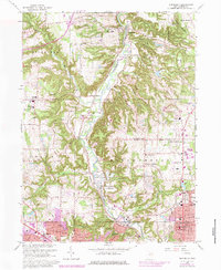
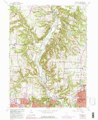
1963 Map of Peninsula
USGS Topo · Published 1979About this map
Peninsula and the winding Cuyahoga River form the heart of this Summit County survey, where the river valley carves a deep path between the rising elevations of Richfield and Northampton. This 1963 edition, with 1970s revisions, illustrates the industrial and recreational character of the valley before the full suburban expansion of Akron reached its northern boundaries. Along the Baltimore and Ohio rail line, small settlements like Everett and Ira maintain their distinct footprints, accompanied by numerous extraction sites such as the Sand and Gravel Pit near the riverbanks. The map documents the cultural landscape through numerous burial grounds, including Ira Cem and Revere Cem, alongside institutional landmarks like Camp Manatoc and Camp Mueller. Evidence of the region's rugged geography is found in the Boston Ledges and Ritchie Ledges, which hem in the drainage basins of Furnace Run and Boston Run.
Find a feature on this map
72 named features on this map. Tap any name to fly to it.
Don’t see what you’re looking for? This feature index may not catch every label — zoom into the map to look around manually.
Map Details
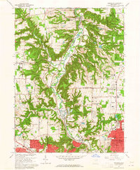
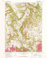
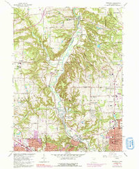
Editions of this 1963 Peninsula Map
5 editions found
Other maps of this area

1903 · Cleveland
USGS Topo · 1:62,500

1903 · Akron
USGS Topo · 1:62,500

1905 · Akron
USGS Topo · 1:62,500

1906 · Kent
USGS Topo · 1:62,500

1906 · Chagrin Falls
USGS Topo · 1:62,500

1908 · Chagrin Falls
USGS Topo · 1:62,500

1950 · Cleveland
USGS Topo · 1:250,000

1953 · Broadview Heights
USGS Topo · 1:24,000

1953 · Twinsburg
USGS Topo · 1:24,000
1953 · Northfield
USGS Topo · 1:24,000