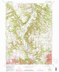
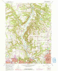
1963 Map of Peninsula
USGS Topo · Published 1992About this map
The Cuyahoga River valley serves as the central corridor for this 1960s study, where the historic Ohio and Erie Canal and the Baltimore and Ohio RR parallel the water's winding course. This era shows the landscape transitioning from its agrarian and industrial roots toward recreational and suburban expansion. Settlements such as Peninsula and Everett are well-defined alongside rural intersections like Ira and Northampton Center.
Find a feature on this map
69 named features on this map. Tap any name to fly to it.
Don’t see what you’re looking for? This feature index may not catch every label — zoom into the map to look around manually.
Map Details
Editions of this 1963 Peninsula Map
5 editions found
Other maps of this area

1903 · Cleveland
USGS Topo · 1:62,500

1903 · Akron
USGS Topo · 1:62,500

1905 · Akron
USGS Topo · 1:62,500

1906 · Kent
USGS Topo · 1:62,500

1906 · Chagrin Falls
USGS Topo · 1:62,500

1908 · Chagrin Falls
USGS Topo · 1:62,500

1950 · Cleveland
USGS Topo · 1:250,000

1953 · Broadview Heights
USGS Topo · 1:24,000

1953 · Twinsburg
USGS Topo · 1:24,000
1953 · Northfield
USGS Topo · 1:24,000