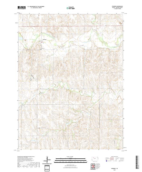
2022 Map of Penokee
USGS Topo · Published 2022About this map
The S Fork Solomon River flows eastward through the northern section of Graham County, defining the local geography around the small community of Penokee. This area is characterized by a high-density grid of gravel section roads like River Rd and 220th Ave that navigate the undulating terrain of the Solomon River valley. The landscape is marked by several seasonal drainage systems including Brush Cr, Jackson Br, and Rock Cr, which carve into the plains.
Find a feature on this map
29 named features on this map. Tap any name to fly to it.
Don’t see what you’re looking for? This feature index may not catch every label — zoom into the map to look around manually.
Map Details
Editions of this 2022 Penokee Map
This is the sole edition of this map. No revisions or reprints were ever made.
Historical Maps of Penokee Through Time
20 maps found
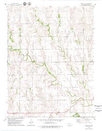
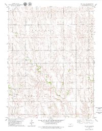
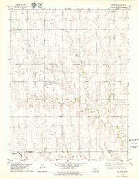
1979 Bogue NW
Graham County, KS
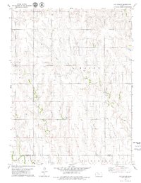
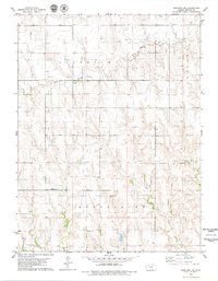
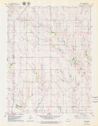
1979 Hay Hollow
Graham County, KS
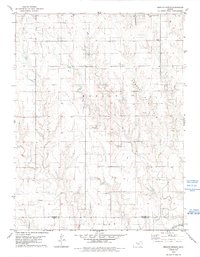
1979 Hill City North
Graham County, KS
1979 Hill City NW
Graham County, KS

1979 Hill City South
Graham County, KS
1979 Morland NE
Graham County, KS
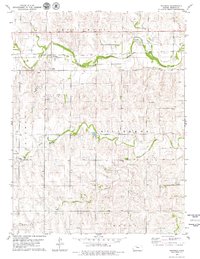
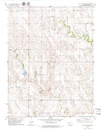
1979 Penokee
Graham County, KS
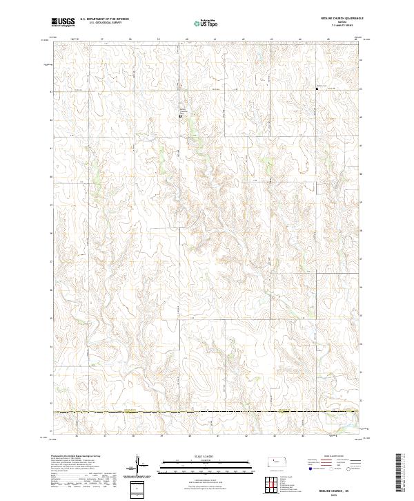
1979 Redline Church
Graham County, KS
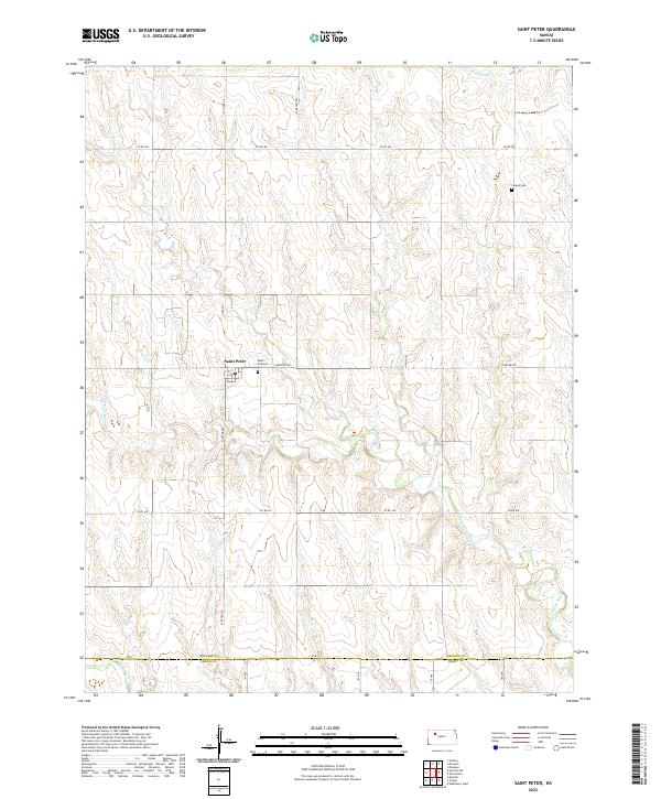
1979 St Peter
Graham County, KS
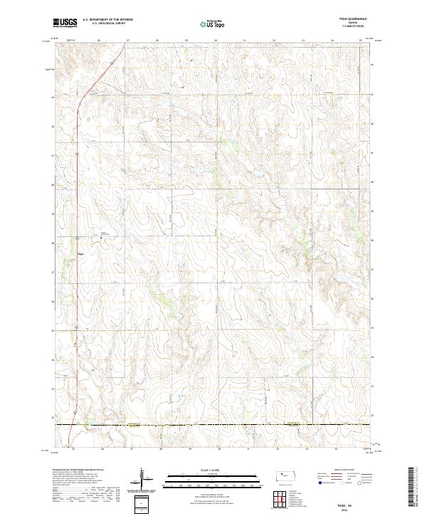
1979 Togo
Graham County, KS
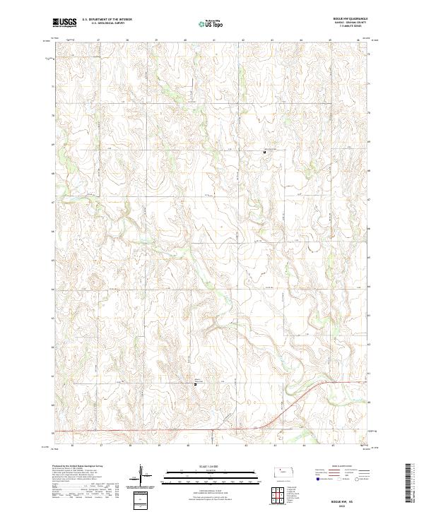
2022 Bogue NW
Graham County, KS
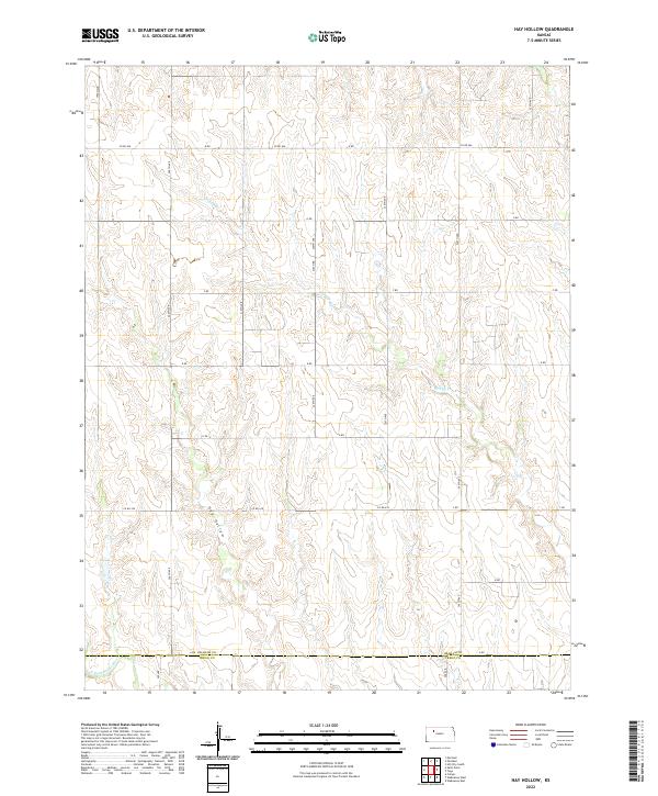
2022 Hay Hollow
Graham County, KS
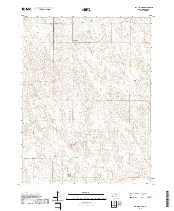
2022 Hill City North
Graham County, KS
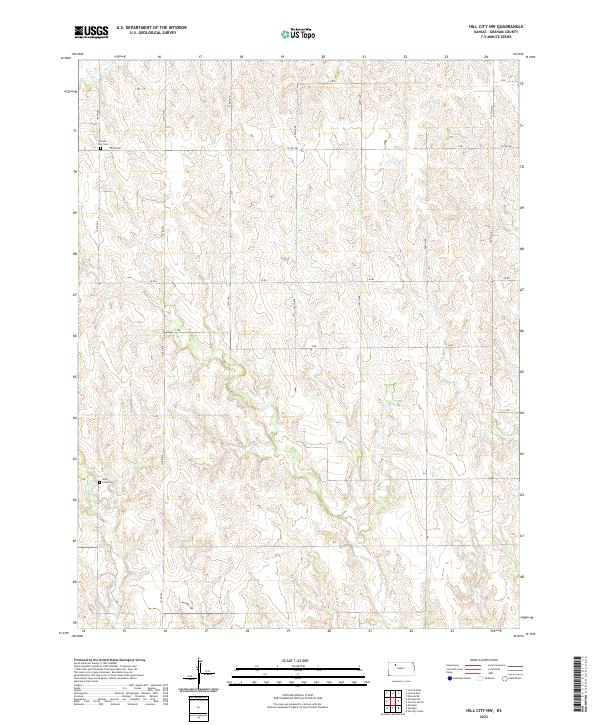
2022 Hill City NW
Graham County, KS
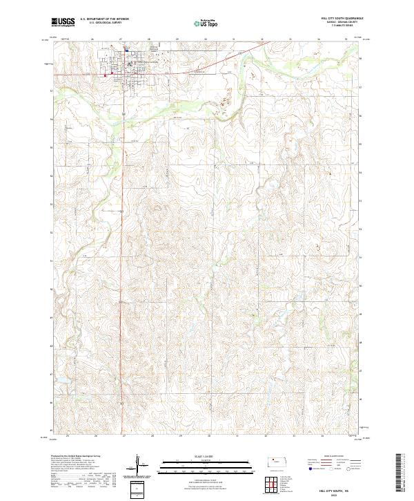
2022 Hill City South
Graham County, KS
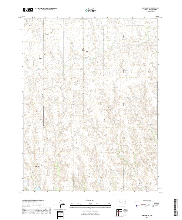
2022 Morland NE
Graham County, KS
2022 Penokee
Graham County, KS
2022 Redline Church
Graham County, KS
2022 Saint Peter
Graham County, KS
2022 Togo
Graham County, KS