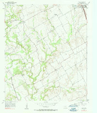
1957 Map of Peoria
USGS Topo · Published 1957About this map
The agrarian landscape of Hill County west of Hillsboro is defined by the winding paths of Aquilla Creek and its many tributaries, such as Jacks Branch and Hackberry Creek. In the mid-1950s, the rural community structure was transitioning, evidenced by several educational landmarks noted as out of use, including Union Bluff Sch (Aband) and Culp Sch (Aband). Settlement patterns are concentrated around the small village of Peoria and the crossroads at Vaughan.
Find a feature on this map
24 named features on this map. Tap any name to fly to it.
Don’t see what you’re looking for? This feature index may not catch every label — zoom into the map to look around manually.
Map Details
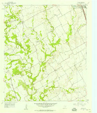
Editions of this 1957 Peoria Map
2 editions found
Other maps of this area

1891 · Cleburne
USGS Topo · 1:125,000

1892 · Waco
USGS Topo · 1:125,000

1894 · Cleburne
USGS Topo · 1:125,000

1920 · Waco
USGS Topo · 1:125,000

1927 · Blum
USGS Topo · 1:62,500

1931 · Whitney
USGS Topo · 1:62,500

1954 · Dallas
USGS Topo · 1:250,000

1954 · Waco
USGS Topo · 1:250,000

1955 · Waco
USGS Topo · 1:250,000

1956 · Abbott
USGS Topo · 1:24,000