
1958 Map of Peoria
USGS Topo · Published 1969About this map
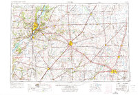
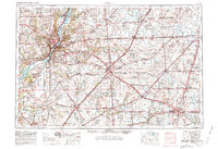
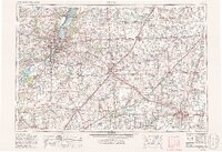
The Illinois River corridor and its broad glacial valleys define the landscape of Central Illinois during a period of significant post-war infrastructure expansion. Centered on Peoria and Bloomington, the map illustrates a complex network of multi-lane highways like Interstate 74 and Interstate 55 beginning to overlay the older patterns of the Penn Central and Illinois Central railroads. These transit corridors connect major educational and institutional centers, including the University of Illinois in Urbana and the Illinois State University in Normal.
Find a feature on this map
166 named features on this map. Tap any name to fly to it.
Don’t see what you’re looking for? This feature index may not catch every label — zoom into the map to look around manually.
Map Details
Editions of this 1958 Peoria Map
4 editions found
Other maps of this area

1893 · Lacon
USGS Topo · 1:62,500

1893 · Metamora
USGS Topo · 1:62,500

1893 · Dunlap
USGS Topo · 1:62,500

1898 · Dunlap
USGS Topo · 1:62,500

1905 · Peoria
USGS Topo · 1:62,500

1906 · Urbana
USGS Topo · 1:62,500

1907 · Springfield
USGS Topo · 1:62,500

1907 · Mahomet
USGS Topo · 1:62,500

1909 · Tallula
USGS Topo · 1:62,500

1911 · Lincoln
USGS Topo · 1:62,500