
1949 Map of Perry
USGS Topo · Published 1968About this map
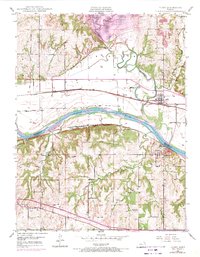
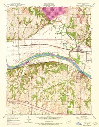
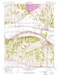
The Kansas River flows through the heart of this landscape, separating the bottomlands of Jefferson County from the higher ground of Douglas County. In the years following World War II, the area remained defined by its river-valley agriculture and the heavy transit corridors of the Union Pacific and the Atchison Topeka and Santa Fe railroads. The town of Perry serves as a local hub near the confluence of the Delaware River, while Lecompton sits on the southern bluffs. Rural life is anchored by local institutions such as Glenn Ch and the Greenwood Valley Sch. Notable historical markers including the Old Indian Bdy and the Delaware Reservation Boundary trace the legacy of earlier land divisions across the townships.
Find a feature on this map
29 named features on this map. Tap any name to fly to it.
Don’t see what you’re looking for? This feature index may not catch every label — zoom into the map to look around manually.
Map Details
Editions of this 1949 Perry Map
4 editions found
Other maps of this area

1885 · Lawrence
USGS Topo · 1:125,000

1886 · Oskaloosa
USGS Topo · 1:125,000

1888 · Oskaloosa
USGS Topo · 1:125,000

1889 · Burlingame
USGS Topo · 1:125,000

1889 · Topeka
USGS Topo · 1:125,000

1889 · Lawrence
USGS Topo · 1:125,000

1894 · Burlingame
USGS Topo · 1:125,000

1894 · Oskaloosa
USGS Topo · 1:125,000

1894 · Topeka
USGS Topo · 1:125,000

1947 · Lawrence
USGS Topo · 1:250,000