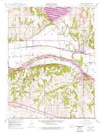
1949 Map of Perry
USGS Topo · Published 1976About this map
Kansas River and Delaware River floodplains anchor this landscape during a period of significant hydraulic transition. The northern section is dominated by the emergence of Perry Lake, where several public use areas like the Thompsonville Public Use Area and Outlet Public Use Area replace the earlier terrain near Thompsonville. This 1949 topographic foundation, photorevised in the 1970s, captures the historical boundary of the Old Delaware Reservation Boundary and the Old Indian Bdy intersecting with the busy rail corridors of the Union Pacific and the Atchison Topeka and Santa Fe. Regional infrastructure is further marked by the Kansas Toll Road Turnpike cutting through the southern hills. Rural life is evidenced by scattered educational sites such as Greenwood Valley Sch and Young Sch, alongside numerous community burial grounds including Newman Cem and Lecompton Cem.
Find a feature on this map
34 named features on this map. Tap any name to fly to it.
Don’t see what you’re looking for? This feature index may not catch every label — zoom into the map to look around manually.
Map Details
Editions of this 1949 Perry Map
4 editions found

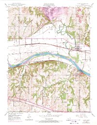
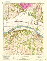
Other maps of this area

1885 · Lawrence
USGS Topo · 1:125,000

1886 · Oskaloosa
USGS Topo · 1:125,000

1888 · Oskaloosa
USGS Topo · 1:125,000

1889 · Burlingame
USGS Topo · 1:125,000

1889 · Topeka
USGS Topo · 1:125,000

1889 · Lawrence
USGS Topo · 1:125,000

1894 · Burlingame
USGS Topo · 1:125,000

1894 · Oskaloosa
USGS Topo · 1:125,000

1894 · Topeka
USGS Topo · 1:125,000

1947 · Lawrence
USGS Topo · 1:250,000