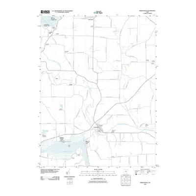
2010 Map of Perrysville
USGS Topo · Published 2010About this map
Perrysville sits at the heart of this landscape, positioned where the Black Fork Mohican River turns south toward Pleasant Hill Lake. This area of Ashland County is defined by its recreation-driven waterfront communities and deep-rooted agricultural history. The northern and southern margins are anchored by significant reservoirs, with the Charles Mill Dam to the northwest and Pleasant Hill Lake to the south, both of which have reshaped the local topography and given rise to distinct seasonal settlements like Yacht Point Cottage Area and Richland Cottage Area.
Find a feature on this map
92 named features on this map. Tap any name to fly to it.
Don’t see what you’re looking for? This feature index may not catch every label — zoom into the map to look around manually.
Map Details
Editions of this 2010 Perrysville Map
This is the sole edition of this map. No revisions or reprints were ever made.
Other maps of this area

1906 · West Salem
USGS Topo · 1:62,500

1908 · Ashland
USGS Topo · 1:62,500

1908 · West Salem
USGS Topo · 1:62,500

1912 · Loudonville
USGS Topo · 1:62,500

1912 · Perrysville
USGS Topo · 1:62,500

1914 · Loudonville
USGS Topo · 1:62,500

1915 · Perrysville
USGS Topo · 1:62,500

1943 · Loudonville
USGS Topo · 1:62,500

1944 · Perrysville
USGS Topo · 1:62,500

1950 · Marion
USGS Topo · 1:250,000