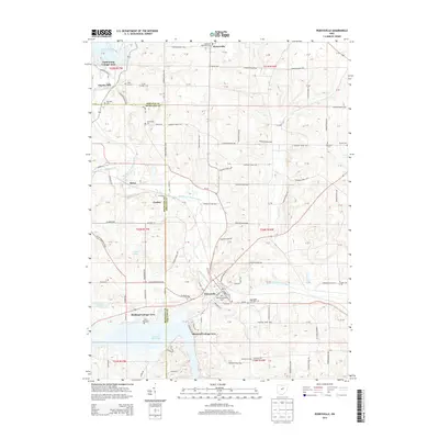
2013 Map of Perrysville
USGS Topo · Published 2013About this map
The village of Perrysville serves as a central hub on this survey, situated along the Black Fork Mohican River. The surrounding landscape is defined by the convergence of the Richland and Ashland county lines, where small settlements like Widowville, Melco, and Coulter punctuate the rural terrain. The area is notable for its high concentration of family and community burial grounds, including the Old Presbyterian Cem, Saint John Cem, and Copus Hill Cem, which offer significant value for genealogical research in this part of Green Township. To the north and south, the geography is heavily influenced by water management, with Charles Mill Lake and Pleasant Hill Lake creating distinct shoreline communities such as Idlewood Cottage Area and Yacht Point Cottage Area. The dense network of numbered township roads reflects the persistent grid of Ohio's early land divisions.
Find a feature on this map
92 named features on this map. Tap any name to fly to it.
Don’t see what you’re looking for? This feature index may not catch every label — zoom into the map to look around manually.
Map Details
Editions of this 2013 Perrysville Map
This is the sole edition of this map. No revisions or reprints were ever made.
Other maps of this area

1906 · West Salem
USGS Topo · 1:62,500

1908 · Ashland
USGS Topo · 1:62,500

1908 · West Salem
USGS Topo · 1:62,500

1912 · Loudonville
USGS Topo · 1:62,500

1912 · Perrysville
USGS Topo · 1:62,500

1914 · Loudonville
USGS Topo · 1:62,500

1915 · Perrysville
USGS Topo · 1:62,500

1943 · Loudonville
USGS Topo · 1:62,500

1944 · Perrysville
USGS Topo · 1:62,500

1950 · Marion
USGS Topo · 1:250,000