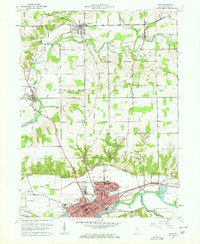
1960 Map of Peru
USGS Topo · Published 1962About this map
The Eel River, Mississinewa River, and Wabash River converge across this Indiana landscape, anchoring the city of Peru at a critical junction of mid-century rail and water transport. The map details the dense urban grid of Peru, featuring Dukes Memorial Hospital and the expansive Mount Hope Cemetery, while outlying communities like Denver, Mexico, and Chili define the rural character of Miami County.
Find a feature on this map
48 named features on this map. Tap any name to fly to it.
Don’t see what you’re looking for? This feature index may not catch every label — zoom into the map to look around manually.
Map Details
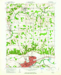
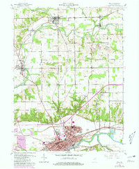
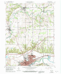
Editions of this 1960 Peru Map
4 editions found
Other maps of this area

1951 · Peru
USGS Topo · 1:24,000

1951 · Onward
USGS Topo · 1:24,000

1951 · Twelve Mile
USGS Topo · 1:24,000

1951 · Bunker Hill
USGS Topo · 1:24,000

1951 · Richvalley
USGS Topo · 1:24,000

1953 · Peoria
USGS Topo · 1:24,000

1953 · Danville
USGS Topo · 1:250,000

1953 · Muncie
USGS Topo · 1:250,000

1955 · Danville
USGS Topo · 1:250,000

1956 · Muncie
USGS Topo · 1:250,000