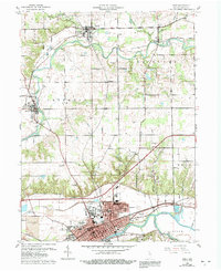
1960 Map of Peru
USGS Topo · Published 1992About this map
The Wabash River and Mississinewa River converge at the city of Peru, forming a prominent hydrologic hub in this mid-century landscape. To the north, the Eel River meanders past the smaller settlements of Denver, Chili, and Mexico. The terrain is bisected by the Old Indian Treaty Boundary, a historical survey line that still influenced property and township divisions when this data was compiled. Local industry and infrastructure are represented by several Oil Wells and a Sand and Gravel Pit near the riverbanks.
Find a feature on this map
38 named features on this map. Tap any name to fly to it.
Don’t see what you’re looking for? This feature index may not catch every label — zoom into the map to look around manually.
Map Details
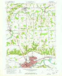
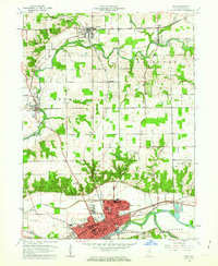
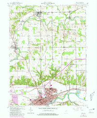
Editions of this 1960 Peru Map
4 editions found
Other maps of this area

1951 · Peru
USGS Topo · 1:24,000

1951 · Onward
USGS Topo · 1:24,000

1951 · Twelve Mile
USGS Topo · 1:24,000

1951 · Bunker Hill
USGS Topo · 1:24,000

1951 · Richvalley
USGS Topo · 1:24,000

1953 · Peoria
USGS Topo · 1:24,000

1953 · Danville
USGS Topo · 1:250,000

1953 · Muncie
USGS Topo · 1:250,000

1955 · Danville
USGS Topo · 1:250,000

1956 · Muncie
USGS Topo · 1:250,000