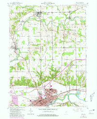
1960 Map of Peru
USGS Topo · Published 1980About this map
The Wabash River and Mississinewa River converge in this mid-century portrait of Miami County, where the city of Peru serves as a major regional hub. The landscape is defined by its deep historical layering, marked by the diagonal path of the Old Indian Treaty Boundary cutting across township lines. To the north, smaller settlements like Denver, Mexico, and Chili are connected by the winding course of the Eel River. The area’s transportation infrastructure is prominently featured, showing the Norfolk and Western and Chesapeake and Ohio railroads serving local industry, including several Sand and Gravel Pits and the residential expansion of Oakdale. Genealogists will find significant value in the numerous well-preserved burial sites, such as Mount Hope Cemetery and the rural Shrock Cem.
Find a feature on this map
38 named features on this map. Tap any name to fly to it.
Don’t see what you’re looking for? This feature index may not catch every label — zoom into the map to look around manually.
Map Details
Editions of this 1960 Peru Map
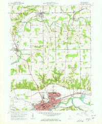
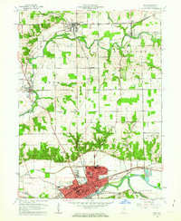
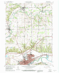
4 editions found
Other maps of this area

1951 · Peru
USGS Topo · 1:24,000

1951 · Onward
USGS Topo · 1:24,000

1951 · Twelve Mile
USGS Topo · 1:24,000

1951 · Bunker Hill
USGS Topo · 1:24,000

1951 · Richvalley
USGS Topo · 1:24,000

1953 · Peoria
USGS Topo · 1:24,000

1953 · Danville
USGS Topo · 1:250,000

1953 · Muncie
USGS Topo · 1:250,000

1955 · Danville
USGS Topo · 1:250,000

1956 · Muncie
USGS Topo · 1:250,000