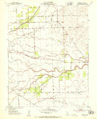
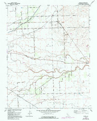
1952 Map of Peters
USGS Topo · Published 1953About this map
Mormon Slough and the Southern Pacific tracks define the agricultural landscape of eastern San Joaquin County in the early 1950s. The small settlement of Peters serves as a local hub near the crossing of Milton Road, while the community of Farmington anchors the southeastern corner of the quadrangle. This area is characterized by a dense network of country roads named for local families and landmarks, such as Dietrich Road, Van Allen Road, and Morrison Road, illustrating the established rural residency of the era.
Find a feature on this map
37 named features on this map. Tap any name to fly to it.
Don’t see what you’re looking for? This feature index may not catch every label — zoom into the map to look around manually.
Map Details
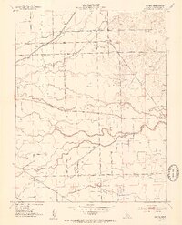
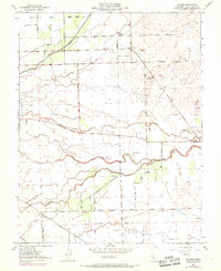
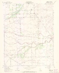
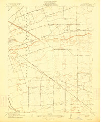
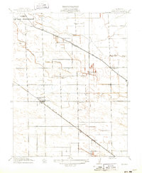
Editions of this 1952 Peters Map
5 editions found
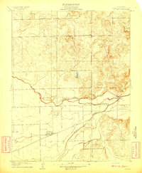
Other maps of this area

1889 · Jackson
USGS Topo · 1:125,000

1892 · Jackson
USGS Topo · 1:125,000

1894 · Lodi
USGS Topo · 1:125,000

1897 · Jackson
USGS Topo · 1:125,000

1902 · Jackson
USGS Topo · 1:125,000

1908 · Waterloo
USGS Topo · 1:31,680
1908 · Linden
USGS Topo · 1:31,680
1914 · Burnham
USGS Topo · 1:31,680
1914 · Manteca
USGS Topo · 1:31,680

1914 · Avena
USGS Topo · 1:31,680