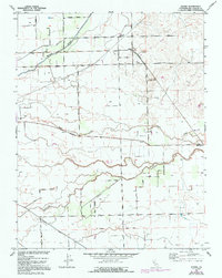
1952 Map of Peters
USGS Topo · Published 1969About this map
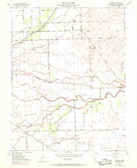
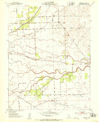
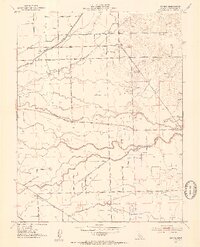
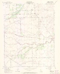
The Southern Pacific Railroad cuts a straight line through the agricultural heart of San Joaquin County, anchoring the settlement of Peters. This landscape is defined by its sophisticated water management and irrigation systems, evidenced by the Mormon Slough, Duck Creek, and a complex network of wells and pumps that support the surrounding fields. The southern portion of the map is marked by the Mt Diablo Base Line, a critical surveying reference point for California property records, near which Littlejohns Creek meanders toward the town of Farmington.
Find a feature on this map
40 named features on this map. Tap any name to fly to it.
Don’t see what you’re looking for? This feature index may not catch every label — zoom into the map to look around manually.
Map Details
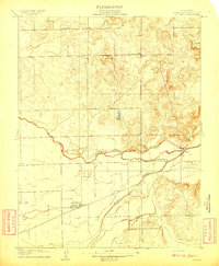
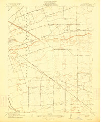
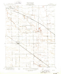
Editions of this 1952 Peters Map
5 editions found
Other maps of this area

1889 · Jackson
USGS Topo · 1:125,000

1892 · Jackson
USGS Topo · 1:125,000

1894 · Lodi
USGS Topo · 1:125,000

1897 · Jackson
USGS Topo · 1:125,000

1902 · Jackson
USGS Topo · 1:125,000

1908 · Waterloo
USGS Topo · 1:31,680
1908 · Linden
USGS Topo · 1:31,680
1914 · Burnham
USGS Topo · 1:31,680
1914 · Manteca
USGS Topo · 1:31,680

1914 · Avena
USGS Topo · 1:31,680