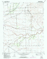
1952 Map of Peters
USGS Topo · Published 1970About this map
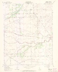
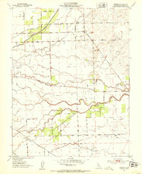
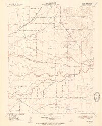
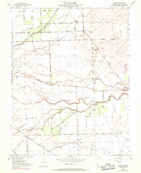
Peters and Farmington serve as the primary hubs in this mid-century portrait of San Joaquin County, where agricultural grid lines intersect with the natural wanderings of Mormon Slough and Duck Creek. The landscape is heavily defined by its transit corridors, including the Southern Pacific Railroad and the A T & S F line in the southwest corner. Local education and industry are rooted in the rural fabric, evidenced by the Everett School and scattered Gravel Pits.
Find a feature on this map
29 named features on this map. Tap any name to fly to it.
Don’t see what you’re looking for? This feature index may not catch every label — zoom into the map to look around manually.
Map Details
Editions of this 1952 Peters Map
5 editions found
Other maps of this area

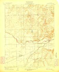
1889 · Jackson
USGS Topo · 1:125,000

1892 · Jackson
USGS Topo · 1:125,000

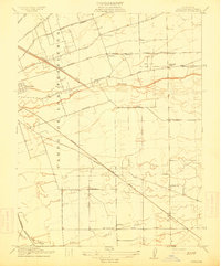
1894 · Lodi
USGS Topo · 1:125,000

1897 · Jackson
USGS Topo · 1:125,000

1902 · Jackson
USGS Topo · 1:125,000

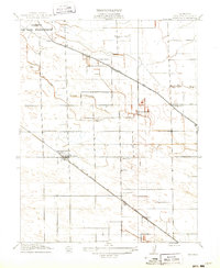
1908 · Waterloo
USGS Topo · 1:31,680
1908 · Linden
USGS Topo · 1:31,680
1914 · Burnham
USGS Topo · 1:31,680
1914 · Manteca
USGS Topo · 1:31,680

1914 · Avena
USGS Topo · 1:31,680