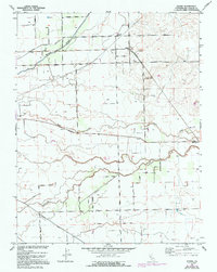
1952 Map of Peters
USGS Topo · Published 1953About this map
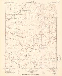
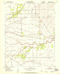
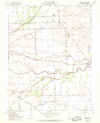
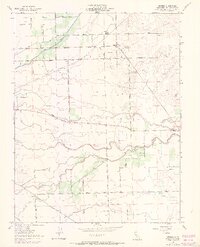
Agricultural development and irrigation infrastructure define this San Joaquin Valley landscape in the early 1950s. The settlement of Peters sits at the junction of Milton Road and the Southern Pacific railroad, while further southeast, Farmington is established near the banks of Duck Creek. The area is heavily marked by water management and transit, with Mormon Slough cutting diagonally across the north and Littlejohns Creek meandering through the southern sections.
Find a feature on this map
43 named features on this map. Tap any name to fly to it.
Don’t see what you’re looking for? This feature index may not catch every label — zoom into the map to look around manually.
Map Details
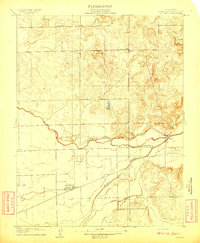
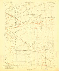
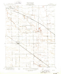
Editions of this 1952 Peters Map
5 editions found
Other maps of this area

1889 · Jackson
USGS Topo · 1:125,000

1892 · Jackson
USGS Topo · 1:125,000

1894 · Lodi
USGS Topo · 1:125,000

1897 · Jackson
USGS Topo · 1:125,000

1902 · Jackson
USGS Topo · 1:125,000

1908 · Waterloo
USGS Topo · 1:31,680
1908 · Linden
USGS Topo · 1:31,680
1914 · Burnham
USGS Topo · 1:31,680
1914 · Manteca
USGS Topo · 1:31,680

1914 · Avena
USGS Topo · 1:31,680