
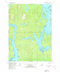
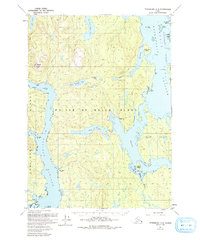
1949 Map of Petersburg A-4
USGS Topo · Published 1964About this map
Prince of Wales Island and the intricate archipelago of Southeast Alaska are documented here just before statehood, showing a landscape defined by water and forest. This 1949 field survey records the isolated Camp Taylor (Aband) on the western coast, a rare human marker in a region dominated by the heights of El Capitan Peak. The map provides detailed hydrographic data for the complex marine network of El Capitan Passage, Whale Passage, and Kashevarof Passage, which served as the primary transit corridors for the region's nascent fishing and timber interests. Interior freshwater systems like Neck Lake and Salmon Bay Lake are mapped amidst the protected lands of the Tongass National Forest. The absence of roads underscores the reliance on maritime travel between landmasses like Thorne Island and Exchange Island.
Find a feature on this map
30 named features on this map. Tap any name to fly to it.
Don’t see what you’re looking for? This feature index may not catch every label — zoom into the map to look around manually.
Map Details
Editions of this 1949 Petersburg A-4 Map
3 editions found
Other maps of this area

1948 · Petersburg B-3
USGS Topo · 1:63,360

1949 · Craig D-3
USGS Topo · 1:63,360

1949 · Petersburg B-5
USGS Topo · 1:63,360

1949 · Petersburg A-3
USGS Topo · 1:63,360

1949 · Craig D-4
USGS Topo · 1:63,360

1949 · Petersburg A-5
USGS Topo · 1:63,360

1949 · Petersburg B-4
USGS Topo · 1:63,360

1950 · Craig D-3
USGS Topo · 1:63,360

1951 · Craig D-5
USGS Topo · 1:63,360

1951 · Craig D-4
USGS Topo · 1:63,360