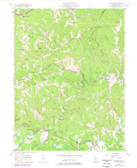
1957 Map of Petroleum
USGS Topo · Published 1977About this map
The Baltimore and Ohio railroad corridor anchors this survey of a rugged pocket of West Virginia where Wood, Wirt, and Ritchie counties meet. The landscape is defined by the early industrial history of the state, visible through the numerous Oil Wells and Gas Wells scattered among the steep ridges and narrow runs. Settlements like Volcano and Petroleum reflect the era's extraction-based economy, while rural community life is evidenced by institutions such as Progress Ridge Sch and several country churches, including Mt Zion Ch and Mt Carmel Ch.
Find a feature on this map
58 named features on this map. Tap any name to fly to it.
Don’t see what you’re looking for? This feature index may not catch every label — zoom into the map to look around manually.
Map Details
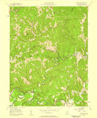
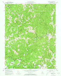
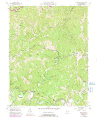
Editions of this 1957 Petroleum Map
4 editions found
Other maps of this area

1904 · Marietta
USGS Topo · 1:62,500

1906 · Saint Marys
USGS Topo · 1:62,500

1906 · Elizabeth
USGS Topo · 1:62,500

1907 · Harrisville
USGS Topo · 1:62,500

1924 · St Marys
USGS Topo · 1:62,500

1924 · Harrisville
USGS Topo · 1:62,500

1924 · Marietta
USGS Topo · 1:62,500

1924 · Elizabeth
USGS Topo · 1:62,500

1926 · Elizabeth
USGS Topo · 1:62,500

1926 · Harrisville
USGS Topo · 1:62,500