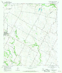
1968 Map of Pflugerville East
USGS Topo · Published 1971About this map
Pflugerville anchors the western edge of this 1960s landscape, serving as a hub for the surrounding agricultural community where the Missouri Kansas Texas railroad cuts through the terrain. The map captures a transition period in Travis County, where long-established family homesteads and local gathering spots like Germania Hall remained central to rural life. A network of named lanes, such as Priem Lane and Pfluger Lane, connect scattered settlements like Cele and New Sweden across the drainages of Wilbarger Creek and Gilleland Creek.
Find a feature on this map
43 named features on this map. Tap any name to fly to it.
Don’t see what you’re looking for? This feature index may not catch every label — zoom into the map to look around manually.
Map Details
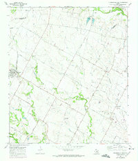
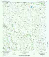
Editions of this 1968 Pflugerville East Map
3 editions found
Other maps of this area

1885 · Taylor
USGS Topo · 1:125,000

1885 · Bastrop
USGS Topo · 1:125,000

1887 · Taylor
USGS Topo · 1:125,000

1893 · Georgetown
USGS Topo · 1:125,000

1893 · Bastrop
USGS Topo · 1:125,000

1894 · Taylor
USGS Topo · 1:125,000

1896 · Austin
USGS Topo · 1:125,000

1897 · Austin
USGS Topo · 1:125,000

1904 · Bastrop
USGS Topo · 1:125,000

1910 · Austin
USGS Topo · 1:125,000