
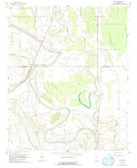
1932 Map of Philipp
USGS Topo · Published 1932This historical map portrays the area of Philipp in 1932, primarily covering Tallahatchie County as well as portions of Leflore County and Grenada County. Featuring a scale of 1:48000, this map provides a highly detailed snapshot of the terrain, roads, buildings, counties, and historical landmarks in the Philipp region at the time. Published in 1932, it is one of 4 known editions of this map due to revisions or reprints.
Find a feature on this map
114 named features on this map. Tap any name to fly to it.
Don’t see what you’re looking for? This feature index may not catch every label — zoom into the map to look around manually.
Map Details
Editions of this 1932 Philipp Map
4 editions found
Historical Maps of Mehr Through Time
18 maps found
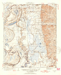
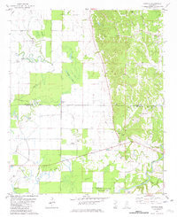
1932 Philipp
Tallahatchie County, MS

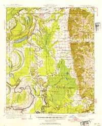
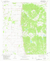
1935 Philipp
Tallahatchie County, MS

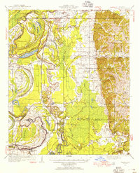
1939 Philipp
Tallahatchie County, MS
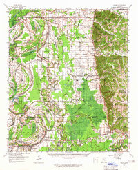
1957 Philipp
Tallahatchie County, MS
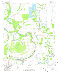
1967 Vance
Tallahatchie County, MS
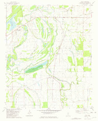
1974 Philipp NE
Tallahatchie County, MS
1974 Philipp NW
Tallahatchie County, MS
1974 Philipp SE
Tallahatchie County, MS
1974 Philipp SW
Tallahatchie County, MS
1974 Sumner NE
Tallahatchie County, MS
1974 Sumner NW
Tallahatchie County, MS
1974 Sumner SE
Tallahatchie County, MS
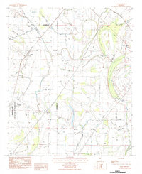
1981 Cascilla
Tallahatchie County, MS
1981 Paynes
Tallahatchie County, MS
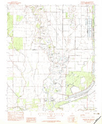
1981 Philipp
Tallahatchie County, MS
1981 Tippo
Tallahatchie County, MS
1982 Fishhook Lake
Tallahatchie County, MS
1983 Rome
Tallahatchie County, MS