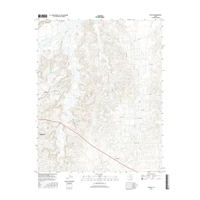
2016 Map of Phillips
USGS Topo · Published 2016About this map
Phillips stands as a primary community in this section of the Texas Panhandle, positioned amidst a complex network of industrial water management and drainage systems. The landscape is defined by the deep incisions of Dixon Cr and Bear Cr, which flow toward the Canadian River in the northwest corner. This area demonstrates the specialized infrastructure of the region, specifically noted by the Phillips Stormwater Control Reservoir and Pantex Reservoir, reflecting the intersection of local industry and water conservation.
Find a feature on this map
30 named features on this map. Tap any name to fly to it.
Don’t see what you’re looking for? This feature index may not catch every label — zoom into the map to look around manually.
Map Details
Editions of this 2016 Phillips Map
This is the sole edition of this map. No revisions or reprints were ever made.
Other maps of this area

1953 · Plemons
USGS Topo · 1:24,000

1953 · Stinnett
USGS Topo · 1:24,000

1953 · Borger SE
USGS Topo · 1:24,000

1953 · McBride
USGS Topo · 1:24,000

1953 · Phillips
USGS Topo · 1:24,000

1953 · Borger
USGS Topo · 1:24,000

1954 · Amarillo
USGS Topo · 1:250,000

1958 · Amarillo
USGS Topo · 1:250,000

1963 · Skellytown
USGS Topo · 1:24,000

1970 · Borger
USGS Topo · 1:24,000