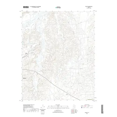
2019 Map of Phillips
USGS Topo · Published 2019About this map
The Canadian River flows across the northern reaches of this Panhandle landscape, where the industrial and residential footprints of Phillips and Borger meet the high plains. The topography is defined by a dense network of drainages including Dixon Creek and Bear Creek that carve through the terrain south of the river. Infrastructure tied to the local petroleum industry and water management is prominent, notably the Phillips Stormwater Control Reservoir and the Pantex Reservoir.
Find a feature on this map
31 named features on this map. Tap any name to fly to it.
Don’t see what you’re looking for? This feature index may not catch every label — zoom into the map to look around manually.
Map Details
Editions of this 2019 Phillips Map
This is the sole edition of this map. No revisions or reprints were ever made.
Other maps of this area

1953 · Plemons
USGS Topo · 1:24,000

1953 · Stinnett
USGS Topo · 1:24,000

1953 · Borger SE
USGS Topo · 1:24,000

1953 · McBride
USGS Topo · 1:24,000

1953 · Phillips
USGS Topo · 1:24,000

1953 · Borger
USGS Topo · 1:24,000

1954 · Amarillo
USGS Topo · 1:250,000

1958 · Amarillo
USGS Topo · 1:250,000

1963 · Skellytown
USGS Topo · 1:24,000

1970 · Borger
USGS Topo · 1:24,000