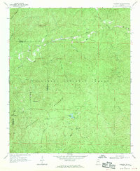
1967 Map of Piedmont SE
USGS Topo · Published 1970About this map
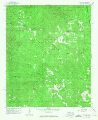
Talladega National Forest dominates this section of the Alabama landscape, where the ridges of Dugger Mountain and Rattlesnake Mountain define the topography. In the late 1960s, this area served as a critical node for forest management and recreation, anchored by the Choccolocco Ranger Station and the developed campsites at Coleman Lake. The map reveals a high-elevation network of access routes, including the Skyway Motorway and numerous jeep trails that traverse the steep terrain.
Find a feature on this map
29 named features on this map. Tap any name to fly to it.
Don’t see what you’re looking for? This feature index may not catch every label — zoom into the map to look around manually.
Map Details
Editions of this 1967 Piedmont SE Map
2 editions found
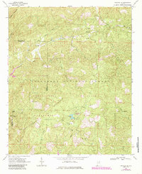
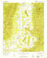
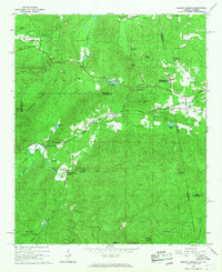
Other maps of this area

1889 · Tallapoosa
USGS Topo · 1:125,000

1892 · Tallapoosa
USGS Topo · 1:125,000

1897 · Tallapoosa
USGS Topo · 1:125,000

1900 · Anniston
USGS Topo · 1:125,000

1953 · Atlanta
USGS Topo · 1:250,000
1954 · Choccolocco
USGS Topo · 1:24,000

1957 · Atlanta
USGS Topo · 1:250,000

1958 · Atlanta
USGS Topo · 1:250,000
1966 · Borden Springs
USGS Topo · 1:24,000
1966 · Oak Level
USGS Topo · 1:24,000