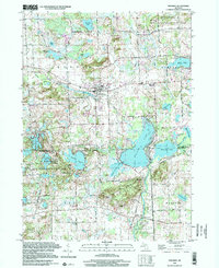
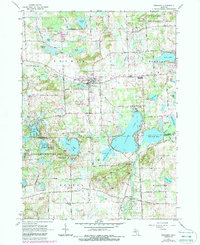
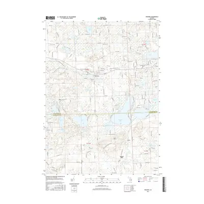
1996 Map of Pinckney
USGS Topo · Published 2000About this map
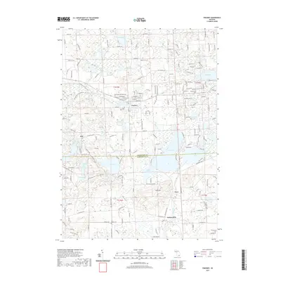
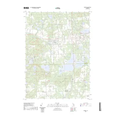
Pinckney serves as the central hub of this northern Livingston County landscape, where the village is situated north of a dense network of glacial lakes and wetlands. The community structure is anchored by St Marys Cath Ch and Pinckney High Sch, while the outlying areas are defined by large protected spaces including the Pinckney State Recreation Area and the Gregory State Game Area. To the south, the Huron River winds through Hudson Mills and past the historic settlement of Dover, connecting larger water bodies like Base Line Lake and Portage Lake.
Find a feature on this map
71 named features on this map. Tap any name to fly to it.
Don’t see what you’re looking for? This feature index may not catch every label — zoom into the map to look around manually.
Map Details
Editions of this 1996 Pinckney Map
This is the sole edition of this map. No revisions or reprints were ever made.
Historical Maps of Hamburg Township Through Time
7 maps found
Featured Locations
- Webster Township, MI
- Dexter Township, MI
- Putnam Township, MI
- Hamburg Township, MI
- Pinckney, Putnam Township