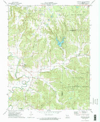
1973 Map of Pinnacle Lake
USGS Topo · Published 1975About this map
Pinnacle Lake sits at the heart of this 1970s landscape, created by the damming of Spring Branch and School Branch near the prominent landmark known as the Pinnacle. The region is defined by a dense network of watercourses, including the meandering Loutre River and Little Bear Creek, which cut through a terrain heavily shaped by the local clay industry. Extensive claypits and quarries are scattered across the northern half of the map, particularly around the Danville claypits area.
Find a feature on this map
40 named features on this map. Tap any name to fly to it.
Don’t see what you’re looking for? This feature index may not catch every label — zoom into the map to look around manually.
Map Details
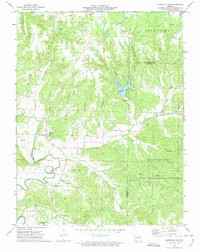
Editions of this 1973 Pinnacle Lake Map
2 editions found
Other maps of this area

1890 · Hermann
USGS Topo · 1:125,000

1890 · Fulton
USGS Topo · 1:125,000

1935 · Morrison
USGS Topo · 1:48,000

1936 · Hermann
USGS Topo · 1:48,000

1940 · Montgomery City
USGS Topo · 1:62,500

1942 · Montgomery City
USGS Topo · 1:62,500

1942 · Morrison
USGS Topo · 1:62,500

1942 · Hermann
USGS Topo · 1:62,500

1942 · New Florence
USGS Topo · 1:62,500

1945 · Hermann
USGS Topo · 1:62,500