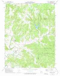
1973 Map of Pinnacle Lake
USGS Topo · Published 1975About this map
Pinnacle Lake and its namesake landmark The Pinnacle dominate the central topography of this mid-1970s survey, illustrating a landscape defined by sharp elevation changes and deep hollows like Mary White Hollow. To the south, the Loutre River meanders through the terrain near the sprawling Daniel Boone Memorial State Forest, where the Boone Lookout Tower stands as a prominent navigation point.
Find a feature on this map
41 named features on this map. Tap any name to fly to it.
Don’t see what you’re looking for? This feature index may not catch every label — zoom into the map to look around manually.
Map Details
Editions of this 1973 Pinnacle Lake Map
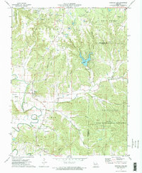
2 editions found
Other maps of this area

1890 · Hermann
USGS Topo · 1:125,000

1890 · Fulton
USGS Topo · 1:125,000

1935 · Morrison
USGS Topo · 1:48,000

1936 · Hermann
USGS Topo · 1:48,000

1940 · Montgomery City
USGS Topo · 1:62,500

1942 · Montgomery City
USGS Topo · 1:62,500

1942 · Morrison
USGS Topo · 1:62,500

1942 · Hermann
USGS Topo · 1:62,500

1942 · New Florence
USGS Topo · 1:62,500

1945 · Hermann
USGS Topo · 1:62,500