Loading...
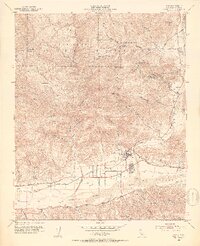
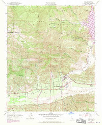
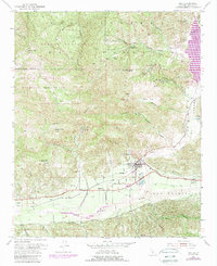
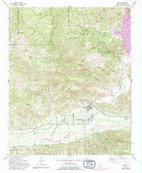
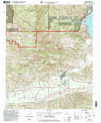
Loading map...1952 Map of Piru
USGS Topo · Published 1953About this map
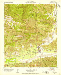
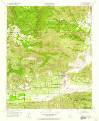
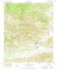
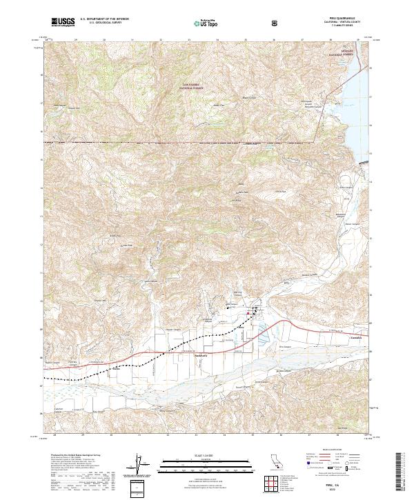
Piru and the agricultural lands along the Santa Clara River anchor this mid-century survey of the Ventura County landscape. The era’s industrial footprint is clearly marked by numerous oil wells dotting the foothills, particularly around Modelo Canyon and Hopper Canyon. The topography transitions sharply from the valley floor to the high peaks of the Los Padres National Forest, where landmarks like Hopper Mtn and Arundell Peak overlook the Sespe Wildlife Area.
Find a feature on this map
50 named features on this map. Tap any name to fly to it.
Don’t see what you’re looking for? This feature index may not catch every label — zoom into the map to look around manually.
Map Details
Date Portrayed1952
Date Published1953
PublisherU.S. Geological Survey
Map TypeTopographic
Scale1:24,000
Physical Dimensions22.05 x 27.09 inches
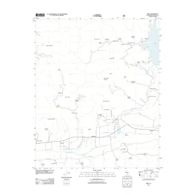
Editions of this 1952 Piru Map
7 editions found
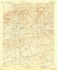
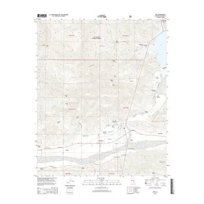
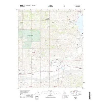
Historical Maps of Piru Through Time
9 maps found


Featured Locations
Source Details
SourceU.S. Geological Survey
CopyrightPublic Domain