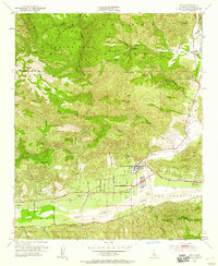
1952 Map of Piru
USGS Topo · Published 1959About this map
Piru sits at the confluence of the Santa Clara River and Piru Creek, serving as a vital agricultural and transportation hub during the mid-20th century. The landscape is defined by the sharp transition from the fertile river valley floor to the prominent peaks of the Los Padres National Forest, including Hopper Mtn and Modelo Peak. The local economy of the early 1950s is etched into the terrain through extensive Oil Wells and Oil Tanks scattered across Oil Ridge and Chino Flat.
Find a feature on this map
48 named features on this map. Tap any name to fly to it.
Don’t see what you’re looking for? This feature index may not catch every label — zoom into the map to look around manually.
Map Details
Editions of this 1952 Piru Map
7 editions found
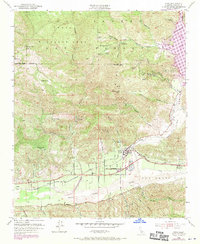
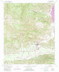
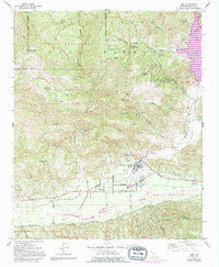
Other maps of this area

1900 · Piru
USGS Topo · 1:62,500

1903 · Tejon
USGS Topo · 1:125,000

1903 · Camulos
USGS Topo · 1:125,000

1903 · Santa Susana
USGS Topo · 1:62,500

1921 · Piru
USGS Topo · 1:62,500

1931 · Whitaker Peak
USGS Topo · 1:24,000

1931 · Santa Felicia Canyon
USGS Topo · 1:24,000

1935 · Santa Felicia Canyon
USGS Topo · 1:24,000

1935 · Whitaker Peak
USGS Topo · 1:24,000

1941 · Piru
USGS Topo · 1:62,500