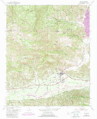
1952 Map of Piru
USGS Topo · Published 1989About this map
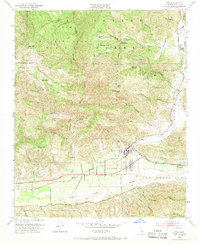
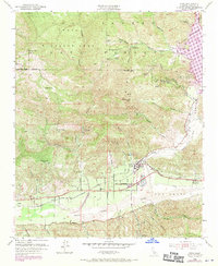
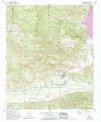
Piru and the surrounding citrus groves of the Santa Clara River valley define this landscape, where the Southern Pacific railroad parallels Telegraph Road through the historic Camulos area. The 1952 data, updated in the late 1980s, captures the transition from traditional ranching and agriculture to the water management requirements of the late 20th century. North of the valley, the terrain rises sharply into the Los Padres National Forest, encompassing the Sespe Condor Sanctuary and Hopper Mountain Wildlife Refuge. This rugged backcountry is marked by numerous Oil Wells and canyon names like Hopper Canyon and Modelo Canyon. The construction of the Santa Felicia Dam has created Lake Piru, a major feature in the northeastern corner that significantly altered the hydrology of Piru Creek.
Find a feature on this map
48 named features on this map. Tap any name to fly to it.
Don’t see what you’re looking for? This feature index may not catch every label — zoom into the map to look around manually.
Map Details
Editions of this 1952 Piru Map
7 editions found
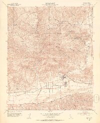
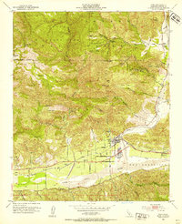
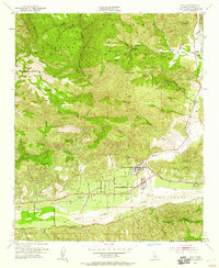
Other maps of this area

1900 · Piru
USGS Topo · 1:62,500

1903 · Tejon
USGS Topo · 1:125,000

1903 · Camulos
USGS Topo · 1:125,000

1903 · Santa Susana
USGS Topo · 1:62,500

1921 · Piru
USGS Topo · 1:62,500

1931 · Whitaker Peak
USGS Topo · 1:24,000

1931 · Santa Felicia Canyon
USGS Topo · 1:24,000

1935 · Santa Felicia Canyon
USGS Topo · 1:24,000

1935 · Whitaker Peak
USGS Topo · 1:24,000

1941 · Piru
USGS Topo · 1:62,500