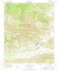
1952 Map of Piru
USGS Topo · Published 1968About this map
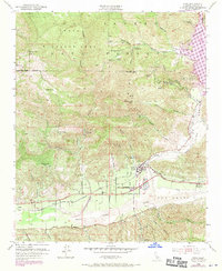
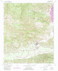
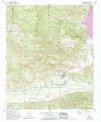
Piru and the surrounding Ventura County backcountry are defined by the convergence of steep canyon terrain and the fertile valley floor during the early 1950s. The Santa Clara River serves as the central geographic axis, flanked by the Southern Pacific railroad and historic thoroughfares like Telegraph Road and Old Telegraph Road. This era shows the landscape’s transition from the protected wilderness of the Los Padres National Forest and Sespe Wildlife Area to the industrial and agricultural activity in the flats. Numerous oil wells and oil tanks are scattered across the foothills near Hopper Canyon and Modelo Canyon, illustrating the petroleum industry's footprint. Significant landmarks such as the Temascal Guard Sta and the settlement of Camulos anchor the eastern and southern edges of the survey, while family-named features like Hopper Ranch and Arundell Spring point to the area’s ranching roots.
Find a feature on this map
49 named features on this map. Tap any name to fly to it.
Don’t see what you’re looking for? This feature index may not catch every label — zoom into the map to look around manually.
Map Details
Editions of this 1952 Piru Map
7 editions found
Other maps of this area

1900 · Piru
USGS Topo · 1:62,500

1903 · Tejon
USGS Topo · 1:125,000

1903 · Camulos
USGS Topo · 1:125,000

1903 · Santa Susana
USGS Topo · 1:62,500

1921 · Piru
USGS Topo · 1:62,500

1931 · Whitaker Peak
USGS Topo · 1:24,000

1931 · Santa Felicia Canyon
USGS Topo · 1:24,000

1935 · Santa Felicia Canyon
USGS Topo · 1:24,000

1935 · Whitaker Peak
USGS Topo · 1:24,000

1941 · Piru
USGS Topo · 1:62,500