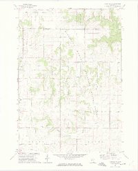
1972 Map of Plainview SW
USGS Topo · Published 1975About this map
Eyota sits at the southwestern edge of this landscape where the undulating terrain of Olmsted County gives way to the deep, wooded valleys of the Minnesota Memorial Hardwood State Forest. The drainage pattern is the defining characteristic of the area, with the North Fork Whitewater River cutting through Carley State Park and the Middle Fork Whitewater River carving a separate path to the south.
Find a feature on this map
21 named features on this map. Tap any name to fly to it.
Don’t see what you’re looking for? This feature index may not catch every label — zoom into the map to look around manually.
Map Details
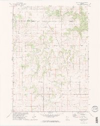
Editions of this 1972 Plainview SW Map
2 editions found
Other maps of this area

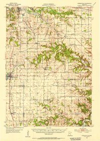
1934 · Plainview
USGS Topo · 1:62,500

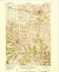
1935 · Rochester
USGS Topo · 1:48,000

1938 · Plainview
USGS Topo · 1:62,500

1939 · Rochester
USGS Topo · 1:62,500

1953 · Saint Paul
USGS Topo · 1:250,000
1954 · Chatfield
USGS Topo · 1:62,500

1954 · Mason City
USGS Topo · 1:250,000
1955 · Stewartville
USGS Topo · 1:62,500

1957 · Mason City
USGS Topo · 1:250,000

1958 · Mason City
USGS Topo · 1:250,000