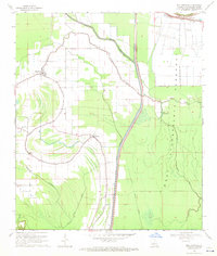
1968 Map of Plaucheville
USGS Topo · Published 1971About this map
Plaucheville and the surrounding Avoyelles Parish lowlands are defined by a complex network of waterways and massive flood control infrastructure. The landscape is split by the West Protection Levee, which separates the settled agricultural lands from the expansive West Atchafalaya Floodway. Within this controlled basin, the natural winding courses of Lake Choupique and Bayou Choupique persist alongside modern engineering like the Diversion Channel.
Find a feature on this map
31 named features on this map. Tap any name to fly to it.
Don’t see what you’re looking for? This feature index may not catch every label — zoom into the map to look around manually.
Map Details
Editions of this 1968 Plaucheville Map
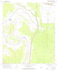
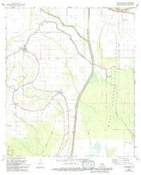
3 editions found
Other maps of this area

1940 · Marksville
USGS Topo · 1:62,500

1941 · Voorhies
USGS Topo · 1:62,500

1948 · Bunkie
USGS Topo · 1:62,500

1952 · Lake Charles
USGS Topo · 1:250,000

1953 · Alexandria
USGS Topo · 1:250,000

1953 · Natchez
USGS Topo · 1:250,000

1954 · Lake Charles
USGS Topo · 1:250,000

1954 · Baton Rouge
USGS Topo · 1:250,000

1955 · Odenburg
USGS Topo · 1:62,500

1955 · Alexandria
USGS Topo · 1:250,000