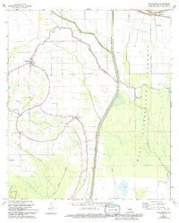
1968 Map of Plaucheville
USGS Topo · Published 1994About this map
Plaucheville serves as the primary settlement in this low-lying stretch of Avoyelles Parish, where the complex hydrology of the Atchafalaya Basin dictates the landscape. The geography is defined by a dense network of meandering waterways, including Bayou Choupique and Bayou Jack, interwoven with mid-century engineering works like the West Atchafalaya Floodway and its accompanying protection levees. This 1960s survey, updated in the early 1990s, documents the rural infrastructure of communities such as Dupont and Bodoc, which are centered around small churches like Bayou Jacque Ch and local cemeteries. The northern reach of the map is dominated by the Bayou des Glaises Diversion Channel, reflecting the perpetual efforts to manage the water levels of the surrounding wetlands and agricultural fields. These drainage systems, including the State Drainage Canal, illustrate the transition from natural bayou drainage to a more controlled flood-management system.
Find a feature on this map
20 named features on this map. Tap any name to fly to it.
Don’t see what you’re looking for? This feature index may not catch every label — zoom into the map to look around manually.
Map Details
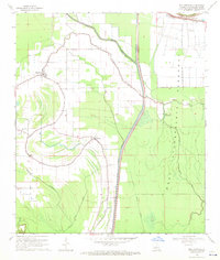
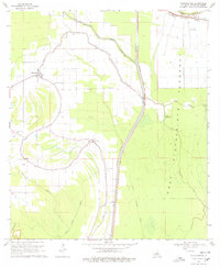
Editions of this 1968 Plaucheville Map
3 editions found
Other maps of this area

1940 · Marksville
USGS Topo · 1:62,500

1941 · Voorhies
USGS Topo · 1:62,500

1948 · Bunkie
USGS Topo · 1:62,500

1952 · Lake Charles
USGS Topo · 1:250,000

1953 · Alexandria
USGS Topo · 1:250,000

1953 · Natchez
USGS Topo · 1:250,000

1954 · Lake Charles
USGS Topo · 1:250,000

1954 · Baton Rouge
USGS Topo · 1:250,000

1955 · Odenburg
USGS Topo · 1:62,500

1955 · Alexandria
USGS Topo · 1:250,000