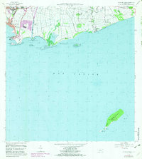
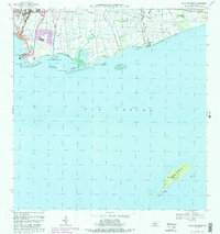
1970 Map of Playa De Ponce
USGS Topo · Published 1983About this map
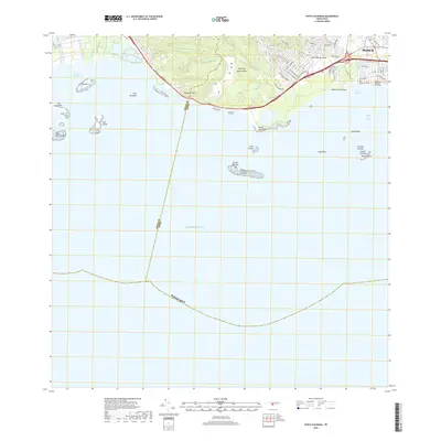
The coastal harbor at Playa de Ponce dominates this southern Puerto Rico survey, revealing the maritime and industrial infrastructure of the region during the 1970s. The bustling Muelle de Ponce and several radio stations, including Antena de Radio (WLEO) and Antena de Radio (WISO), serve as central landmarks for the urbanized Canas Urbano district. Beyond the city center, the landscape transitions into agricultural zones and small settlements like Cintrona Segunda and Quinta Esperanza, separated by the courses of the Rio Portugues and Rio Bucana. To the south, the survey extends into the Mar Caribe, documenting the offshore geography of Isla De Jueyes and the significant landmass of Isla Caja de Muertos, complete with its prominent Faro and Cerro Morrillo peak.
Find a feature on this map
47 named features on this map. Tap any name to fly to it.
Don’t see what you’re looking for? This feature index may not catch every label — zoom into the map to look around manually.
Map Details
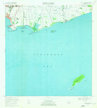
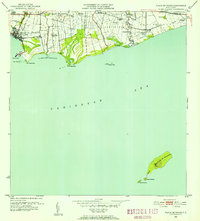
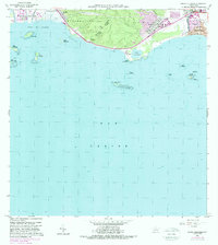
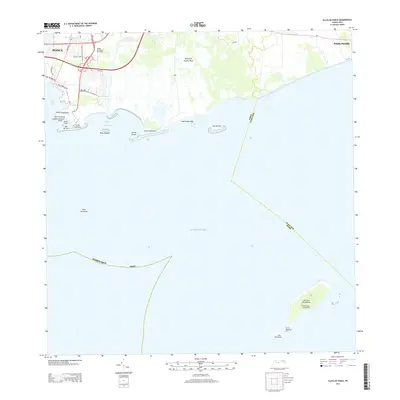
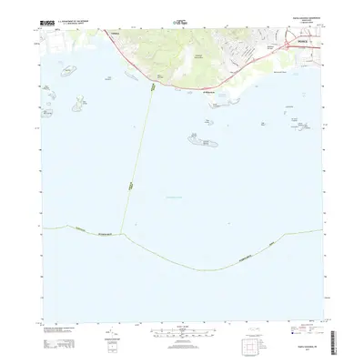
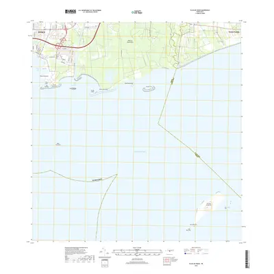
Editions of this 1970 Playa De Ponce Map
3 editions found
Historical Maps of El Polvorín Through Time
23 maps found

1945 Playa De Ponce
Ponce Municipio, PR

1946 Punta Cuchara
Ponce Municipio, PR

1947 Adjuntas SE
Ponce Municipio, PR

1947 Jayuya SO
Ponce Municipio, PR

1947 Penuelas NE
Ponce Municipio, PR

1947 Penuelas SE
Ponce Municipio, PR

1947 Playa De Ponce NO
Ponce Municipio, PR

1947 Ponce NO
Ponce Municipio, PR

1947 Ponce SO
Ponce Municipio, PR

1947 Punta Gughara NE
Ponce Municipio, PR
1952 Playa De Ponce
Ponce Municipio, PR

1952 Punta Cuchara
Ponce Municipio, PR

1958 Playa De Ponce
Ponce Municipio, PR

1958 Punta Cucharas
Ponce Municipio, PR

1962 Playa De Ponce
Ponce Municipio, PR
1962 Punta Cucharas
Ponce Municipio, PR
1970 Playa De Ponce
Ponce Municipio, PR
2013 Playa De Ponce
Ponce Municipio, PR
2013 Punta Cucharas
Ponce Municipio, PR
2018 Playa De Ponce
Ponce Municipio, PR
2018 Punta Cucharas
Ponce Municipio, PR

2024 Playa De Ponce
Ponce Municipio, PR

2024 Punta Cucharas
Ponce Municipio, PR