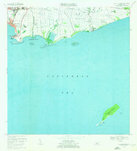
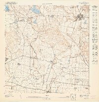
1970 Map of Playa De Ponce
USGS Topo · Published 1972About this map
Río Portugués and Río Bucaná converge at the Caribbean coast, defining the industrial and maritime layout of this southern Puerto Rican port district. The urban expansion of Canas Urbano and San Anton meets the coast at Playa de Ponce, where the Muelle de Ponce and various radio towers like Antena de Radio (WLEO) signal a mid-century infrastructure hub. Further east, the coastline transitions into the agricultural and residential barrios of Capitanejo and Vayas, featuring smaller settlements such as Boca Chica and Cintrona Segunda. Significant offshore detail is recorded, extending south to include the landforms of Isla Caja de Muertos and Isla Morrillito, which provide a detailed look at the maritime approaches and coastal topography of the region during this era.
Find a feature on this map
44 named features on this map. Tap any name to fly to it.
Don’t see what you’re looking for? This feature index may not catch every label — zoom into the map to look around manually.
Map Details
Editions of this 1970 Playa De Ponce Map
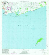
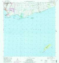
3 editions found
Other maps of this area

1944 · Santa Isabel
USGS Topo · 1:30,000

1945 · Playa De Ponce
USGS Topo · 1:30,000

1945 · Ponce
USGS Topo · 1:30,000

1945 · Rio Descalabrado
USGS Topo · 1:30,000

1946 · Punta Cuchara
USGS Topo · 1:30,000

1946 · Penuelas
USGS Topo · 1:30,000
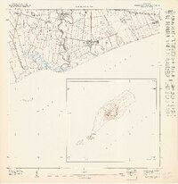
1947 · Playa De Ponce NE
USGS Topo · 1:10,000

1947 · Punta Gughara NE
USGS Topo · 1:10,000

1947 · Ponce SO
USGS Topo · 1:10,000
1947 · Ponce SE
USGS Topo · 1:10,000