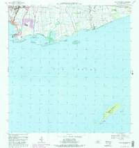
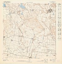
1970 Map of Playa De Ponce
USGS Topo · Published 1988About this map
The southern coast of Puerto Rico is defined here by the bustling maritime activity of Playa de Ponce and the expansive sugar-growing lands of the Capitanejo and Vayas regions. Updated through the late 1960s and 1970s, this survey reveals the urban expansion of Canas Urbano and San Anton toward the Caribbean. Industrial and transportation landmarks like the Muelle de Ponce, the Antena de Radio (WLEO), and several airfields emphasize the area's role as a regional hub.
Find a feature on this map
49 named features on this map. Tap any name to fly to it.
Don’t see what you’re looking for? This feature index may not catch every label — zoom into the map to look around manually.
Map Details
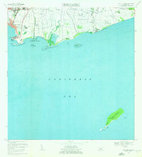
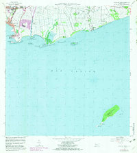
Editions of this 1970 Playa De Ponce Map
3 editions found
Other maps of this area

1944 · Santa Isabel
USGS Topo · 1:30,000

1945 · Playa De Ponce
USGS Topo · 1:30,000

1945 · Ponce
USGS Topo · 1:30,000

1945 · Rio Descalabrado
USGS Topo · 1:30,000

1946 · Punta Cuchara
USGS Topo · 1:30,000

1946 · Penuelas
USGS Topo · 1:30,000
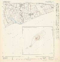
1947 · Playa De Ponce NE
USGS Topo · 1:10,000

1947 · Punta Gughara NE
USGS Topo · 1:10,000

1947 · Ponce SO
USGS Topo · 1:10,000
1947 · Ponce SE
USGS Topo · 1:10,000