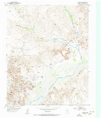
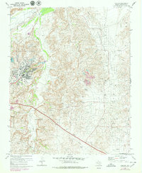
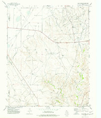
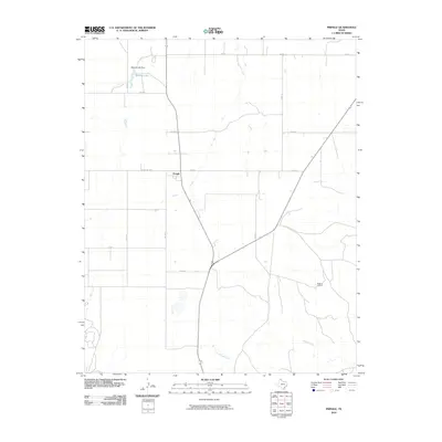
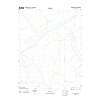
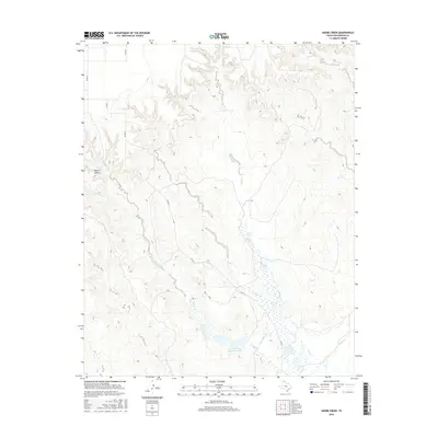
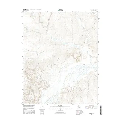
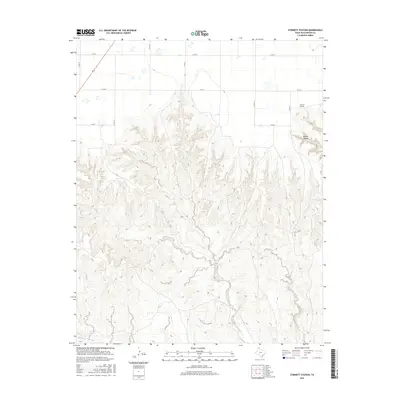
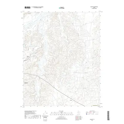
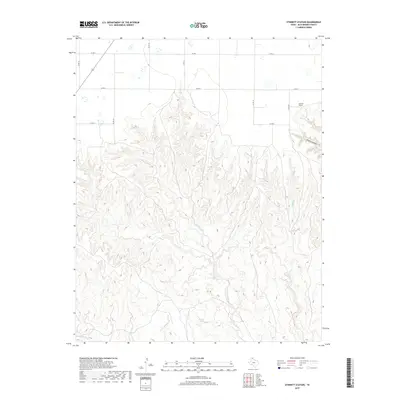
1953 Map of Plemons
USGS Topo · Published 1954About this map
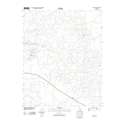
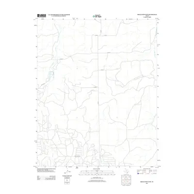
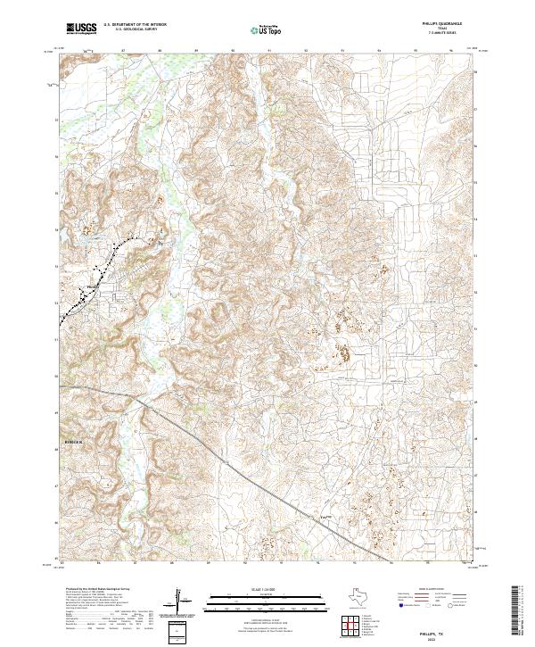
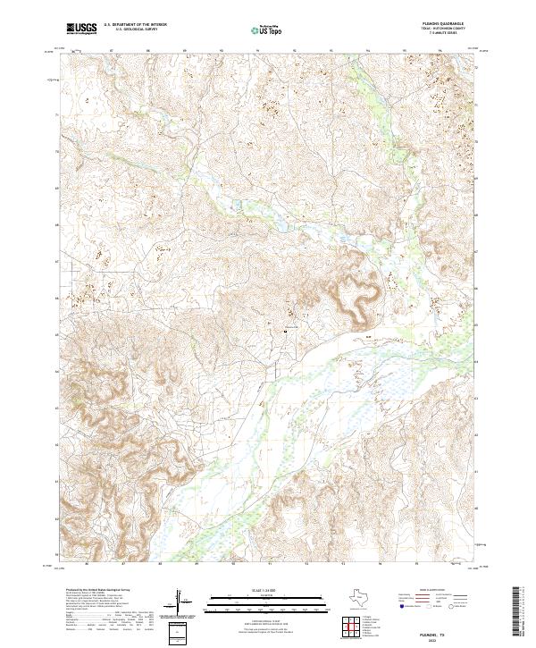
Plemons sits on a high terrace overlooking the wide valley of the Canadian River in this mid-century survey of the Texas Panhandle. The settlement is surrounded by an active industrial landscape, dominated by the Moore Watkins Oil Field and numerous Oil Wells and clusters of Oil Tanks. This period of mapping documents the intersection of old ranching roots and the post-war petroleum boom, evidenced by the many Windmill sites and cattle country Ruins scattered among the drilling operations. The terrain is defined by the deep incisions of Bugby Creek, Moore Creek, and Smokehouse Creek, which have carved out distinctive features like the prominent Bluff and Edge. Local historians can trace the proximity of the community to its Cem, providing a clear record of the area's late ranching and early oil era.
Find a feature on this map
18 named features on this map. Tap any name to fly to it.
Don’t see what you’re looking for? This feature index may not catch every label — zoom into the map to look around manually.
Map Details
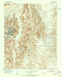
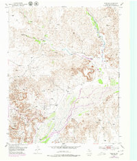
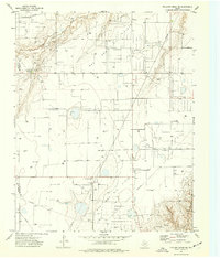
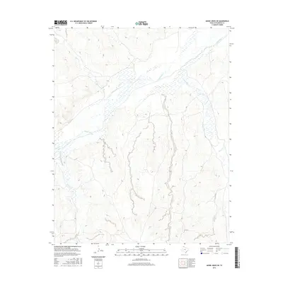
Editions of this 1953 Plemons Map
3 editions found

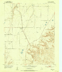
Historical Maps of Plemons Through Time
55 maps found
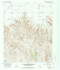
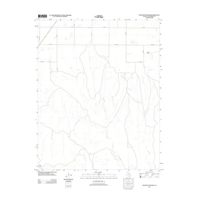
1953 Phillips
Hutchinson County, TX
1953 Plemons
Hutchinson County, TX
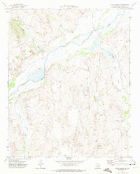
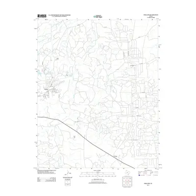
1953 Pringle
Hutchinson County, TX
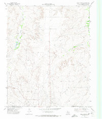
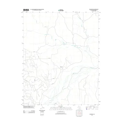
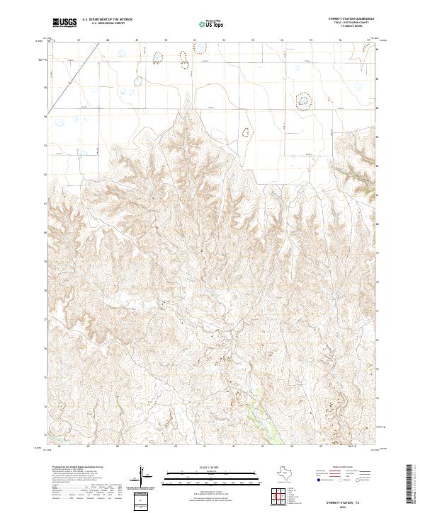
1953 Stinnett Station
Hutchinson County, TX
1970 Phillips
Hutchinson County, TX
1971 Adobe Creek SW
Hutchinson County, TX
1971 Skellytown NW
Hutchinson County, TX
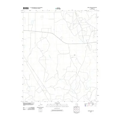
1974 Camp Creek
Hutchinson County, TX
1974 Pollard Creek NE
Hutchinson County, TX
1979 Adobe Creek
Hutchinson County, TX
2010 Adobe Creek
Hutchinson County, TX

2010 Adobe Creek SW
Hutchinson County, TX
2010 Camp Creek
Hutchinson County, TX
2010 Phillips
Hutchinson County, TX
2010 Plemons
Hutchinson County, TX
2010 Pollard Creek NE
Hutchinson County, TX
2010 Pringle
Hutchinson County, TX
2010 Skellytown NW
Hutchinson County, TX
2010 Stinnett Station
Hutchinson County, TX
2012 Adobe Creek
Hutchinson County, TX
2012 Adobe Creek SW
Hutchinson County, TX
2012 Camp Creek
Hutchinson County, TX
2012 Pollard Creek NE
Hutchinson County, TX
2012 Pringle
Hutchinson County, TX
2012 Skellytown NW
Hutchinson County, TX
2012 Stinnett Station
Hutchinson County, TX
2013 Phillips
Hutchinson County, TX
2013 Plemons
Hutchinson County, TX
2016 Adobe Creek
Hutchinson County, TX
2016 Adobe Creek SW
Hutchinson County, TX
2016 Camp Creek
Hutchinson County, TX
2016 Phillips
Hutchinson County, TX
2016 Plemons
Hutchinson County, TX
2016 Pollard Creek NE
Hutchinson County, TX
2016 Pringle
Hutchinson County, TX
2016 Skellytown NW
Hutchinson County, TX
2016 Stinnett Station
Hutchinson County, TX
2019 Adobe Creek
Hutchinson County, TX
2019 Adobe Creek SW
Hutchinson County, TX
2019 Camp Creek
Hutchinson County, TX
2019 Phillips
Hutchinson County, TX

2019 Plemons
Hutchinson County, TX
2019 Pollard Creek NE
Hutchinson County, TX
2019 Pringle
Hutchinson County, TX
2019 Skellytown NW
Hutchinson County, TX
2019 Stinnett Station
Hutchinson County, TX
2022 Adobe Creek
Hutchinson County, TX
2022 Adobe Creek SW
Hutchinson County, TX
2022 Camp Creek
Hutchinson County, TX
2022 Phillips
Hutchinson County, TX
2022 Plemons
Hutchinson County, TX
2022 Pollard Creek NE
Hutchinson County, TX
2022 Pringle
Hutchinson County, TX

2022 Skellytown NW
Hutchinson County, TX
2022 Stinnett Station
Hutchinson County, TX