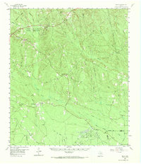
1963 Map of Pluck
USGS Topo · Published 1980About this map
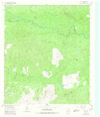
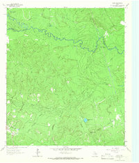
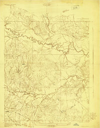
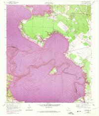
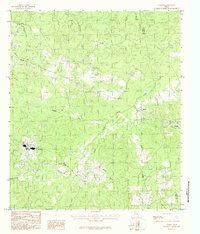
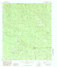
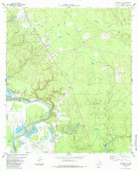
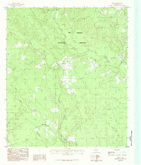
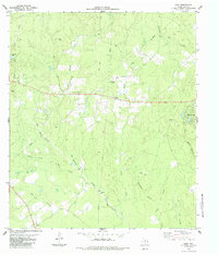
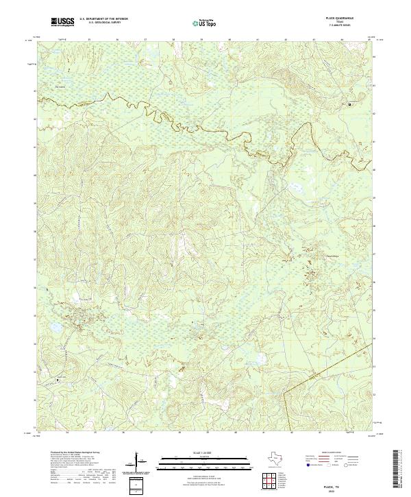
Neches River meanders through this landscape at the intersection of Polk, Angelina, and Tyler counties, creating a complex network of sloughs and cutoffs. The terrain is defined by the heavy drainage patterns of Piney Creek, Sulphur Creek, and Bear Creek, which feed into the primary river valley. A notable feature of the river's geography is the large landmass known as The Island, bounded by the river and the Dollarhide Cutoff near Dollarhide Lake.
Find a feature on this map
39 named features on this map. Tap any name to fly to it.
Don’t see what you’re looking for? This feature index may not catch every label — zoom into the map to look around manually.
Map Details
Editions of this 1963 Pluck Map
2 editions found
Historical Maps of Pluck Through Time
31 maps found
1927 Lufkin 4-c
Polk County, TX
1955 New Willard
Polk County, TX
1958 Segno
Polk County, TX
1960 Blanchard
Polk County, TX
1960 Colita
Polk County, TX
1963 Pluck
Polk County, TX
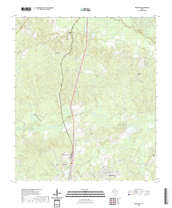
1963 Wakefield
Polk County, TX
1984 Camden
Polk County, TX
1984 Carmona
Polk County, TX
1984 Dallardsville
Polk County, TX
1984 Hortense
Polk County, TX
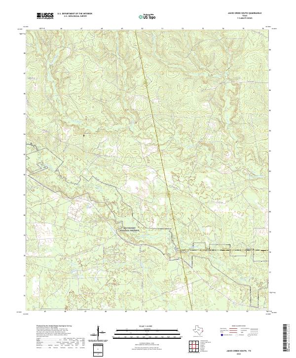
1984 Jacks Creek South
Polk County, TX
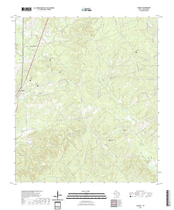
1984 Leggett
Polk County, TX
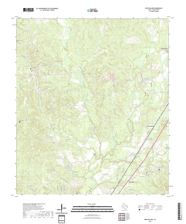
1984 New Willard
Polk County, TX
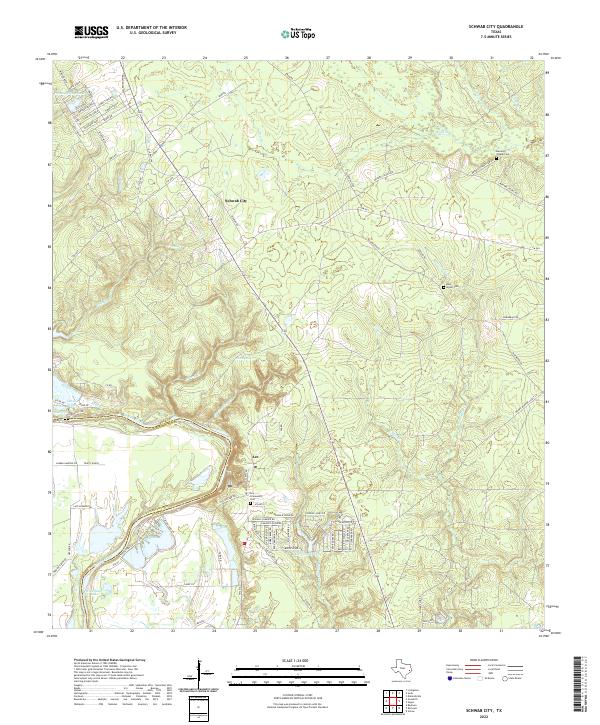
1984 Schwab City
Polk County, TX
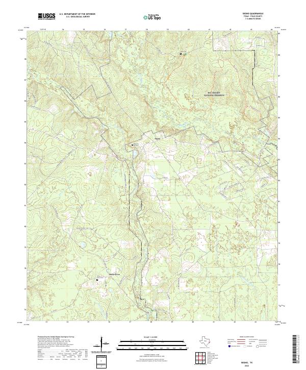
1984 Segno
Polk County, TX
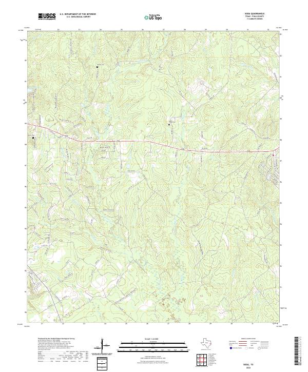
1984 Soda
Polk County, TX
2022 Blanchard
Polk County, TX
2022 Camden
Polk County, TX
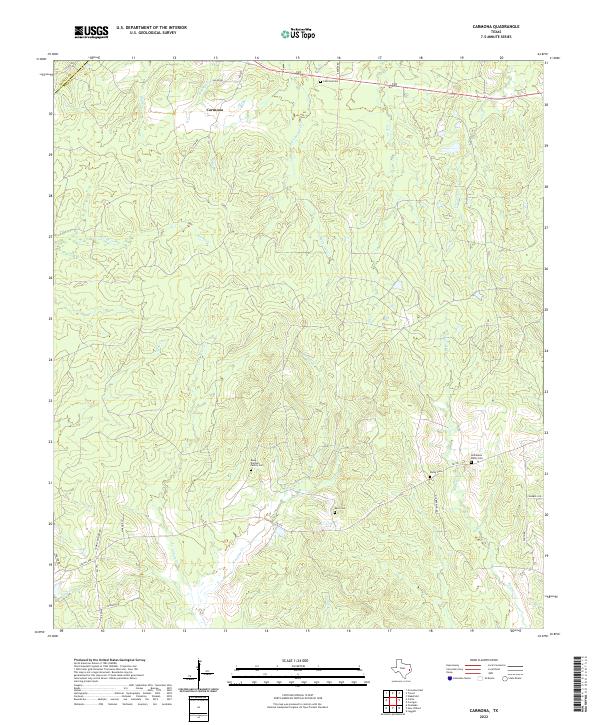
2022 Carmona
Polk County, TX
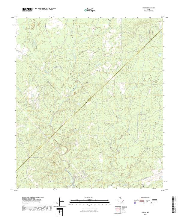
2022 Colita
Polk County, TX
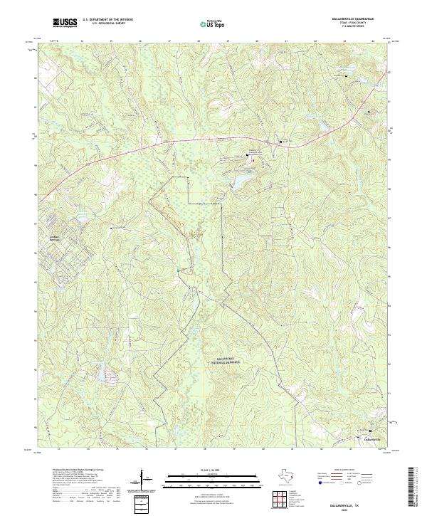
2022 Dallardsville
Polk County, TX
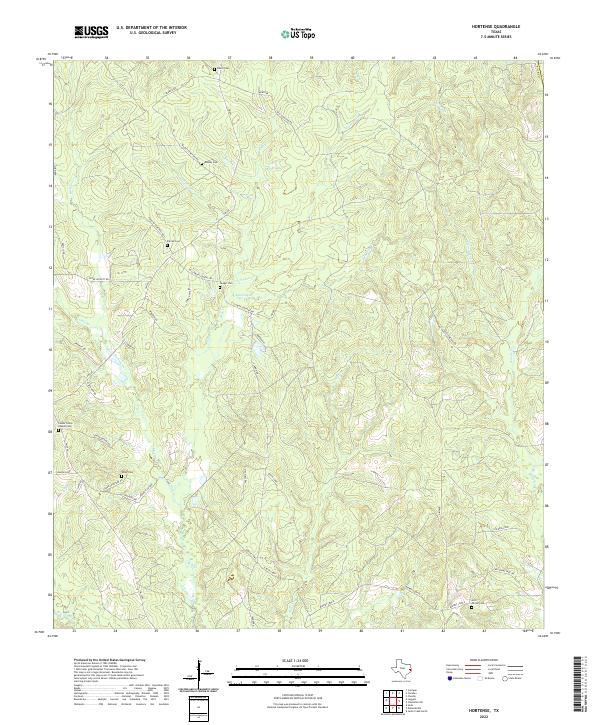
2022 Hortense
Polk County, TX
2022 Jacks Creek South
Polk County, TX
2022 Leggett
Polk County, TX
2022 New Willard
Polk County, TX
2022 Pluck
Polk County, TX
2022 Schwab City
Polk County, TX
2022 Segno
Polk County, TX
2022 Soda
Polk County, TX
2022 Wakefield
Polk County, TX