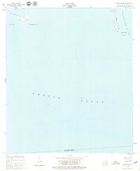
1955 Map of Point Chicot
USGS Topo · Published 1979About this map
Deadman Island and the fragmented marshlands of the outer Mississippi Delta define this coastal environment during the mid-1950s. Located at the intersection of Eloi Bay, Breton Sound, and Chandeleur Sound, the landscape consists of low-lying islands and narrow passes. The presence of the Point Chicot Light and a designated Beacon suggests the importance of this area for maritime navigation through the shifting shallows.
Find a feature on this map
13 named features on this map. Tap any name to fly to it.
Don’t see what you’re looking for? This feature index may not catch every label — zoom into the map to look around manually.
Map Details
Editions of this 1955 Point Chicot Map
2 editions found
Other maps of this area

1893 · La Fortuna
USGS Topo · 1:62,500

1893 · Chandeleur
USGS Topo · 1:62,500

1895 · Bodreau
USGS Topo · 1:62,500

1935 · Morgan Harbor
USGS Topo · 1:31,680

1935 · Lake Athanasio
USGS Topo · 1:31,680
1947 · Lake Athanasio
USGS Topo · 1:31,680
1947 · Lake Eloi
USGS Topo · 1:31,680
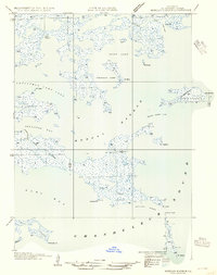
1954 · Morgan Harbor
USGS Topo · 1:31,680
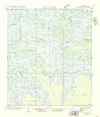
1954 · Lake Eloi
USGS Topo · 1:31,680
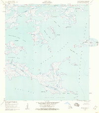
1955 · Morgan Harbor
USGS Topo · 1:24,000