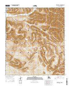
2014 Map of Point Hope C-2 NW
USGS Topo · Published 2014About this map
Cape Lewis and the massive Cape Lewis Mountain dominate the northwestern shoreline of this Arctic coastal region. The landscape transitions from the cold waters of the Chukchi Sea into a high-elevation interior marked by prominent peaks such as Mount Buckland and Angayutak Mountain. A network of drainage basins defines the topography, with numerous watercourses like Kapaloak Cr, Ukinyuk Cr, and Oliktok Cr carving deep valleys between the ridges of Ooguk Mountain. This 2014 survey documents the pristine geomorphology of the North Slope, where the drainage patterns of Atuk Cr and Akalolik Cr provide a clear view of the natural hydrology in an area defined by its geological features rather than human settlement.
Find a feature on this map
15 named features on this map. Tap any name to fly to it.
Don’t see what you’re looking for? This feature index may not catch every label — zoom into the map to look around manually.
Map Details
Editions of this 2014 Point Hope C-2 NW Map
This is the sole edition of this map. No revisions or reprints were ever made.
Other maps of this area

1952 · Point Hope
USGS Topo · 1:250,000
1952 · Point Hope C-3
USGS Topo · 1:63,360

1952 · Point Hope D-2
USGS Topo · 1:63,360

1955 · Point Hope
USGS Topo · 1:250,000

1955 · Point Hope C-2
USGS Topo · 1:63,360

1965 · Point Hope
USGS Topo · 1:250,000
2014 · Point Hope D-2 OE W SE
USGS Topo · 1:25,000
2014 · Point Hope C-3 NE
USGS Topo · 1:25,000
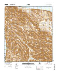
2014 · Point Hope D-2 SW
USGS Topo · 1:25,000
2014 · Point Hope C-2 NE
USGS Topo · 1:25,000