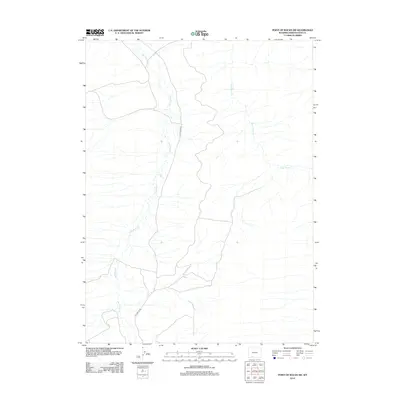
2012 Map of Point of Rocks SW
USGS Topo · Published 2012About this map
Salt Wells Cr and Black Butte Cr define the drainage patterns of this high desert landscape in southern Wyoming. The area is characterized by sparse development and a network of ephemeral watercourses that carve through the arid basin. Salt Wells Rd serves as the primary corridor for movement through this remote territory, providing access to the open range and reflecting the limited but essential infrastructure required for managing public lands and natural resources in Sweetwater County. The map captures the subtle topography of the region, where wide valleys and low ridges dictate the path of travel and seasonal water flow, long before more intensive industrial or residential development reached this corner of the state.
Find a feature on this map
3 named features on this map. Tap any name to fly to it.
Don’t see what you’re looking for? This feature index may not catch every label — zoom into the map to look around manually.
Map Details
Editions of this 2012 Point of Rocks SW Map
This is the sole edition of this map. No revisions or reprints were ever made.
Other maps of this area

1908 · Rock Springs
USGS Topo · 1:62,500

1910 · Rock Springs
USGS Topo · 1:62,500

1954 · Rock Springs
USGS Topo · 1:250,000

1958 · Rock Springs
USGS Topo · 1:250,000

1962 · Rock Springs
USGS Topo · 1:250,000

1968 · North Baxter
USGS Topo · 1:24,000

1968 · Cooper Ridge NE
USGS Topo · 1:24,000

1968 · Point Of Rocks SW
USGS Topo · 1:24,000

1968 · Point Of Rocks
USGS Topo · 1:24,000

1968 · Camel Rock
USGS Topo · 1:24,000