
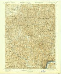
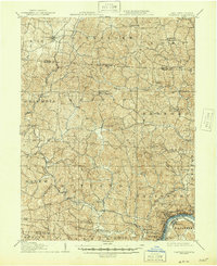
1907 Map of Pomeroy
USGS Topo · Published 1907About this map
The Ohio River defines the southern boundary of this 1907 survey, where the bustling salt and coal-producing centers of Pomeroy, Middleport, and Bradbury overlook the water. The river bend at Mason anchors a complex landscape of narrow valleys and ridges, dominated by the winding course of Leading Creek and its many tributaries like Little Leading Creek. This era shows the critical role of rail transport for the region, with the Kanawha and Michigan RR following the riverbank and the Ohio West Virginia Ry pushing into the interior.
Find a feature on this map
68 named features on this map. Tap any name to fly to it.
Don’t see what you’re looking for? This feature index may not catch every label — zoom into the map to look around manually.
Map Details
Editions of this 1907 Pomeroy Map
3 editions found
Other maps of this area

1903 · Athens
USGS Topo · 1:62,500

1904 · Zaleski
USGS Topo · 1:62,500

1904 · Chesterhill
USGS Topo · 1:62,500

1905 · Athens
USGS Topo · 1:62,500

1905 · Wilkesville
USGS Topo · 1:62,500

1906 · Chesterhill
USGS Topo · 1:62,500

1906 · Bidwell
USGS Topo · 1:62,500

1907 · Keno
USGS Topo · 1:62,500

1907 · Zaleski
USGS Topo · 1:62,500

1908 · Bidwell
USGS Topo · 1:62,500