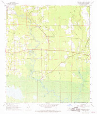
1968 Map of Ponchatoula NE
USGS Topo · Published 1969About this map
The Tangipahoa River carves a winding path through this corner of Tangipahoa Parish, where swampy lowlands meet rising pinewoods in the late 1960s. This survey records a landscape defined by the water, featuring riverine landmarks like Lees Landing and the swamp-fringed Traino Landing on Bedico Creek. To the south, the terrain dissolves into the dense wetlands of Rice Bayou and Black Bayou, while the northern reaches show early industrial footprints via the Industrial Railroad.
Find a feature on this map
45 named features on this map. Tap any name to fly to it.
Don’t see what you’re looking for? This feature index may not catch every label — zoom into the map to look around manually.
Map Details
Editions of this 1968 Ponchatoula NE Map
4 editions found
Other maps of this area

1935 · Covington
USGS Topo · 1:62,500

1935 · Ponchatoula
USGS Topo · 1:62,500

1939 · Ponchatoula
USGS Topo · 1:62,500

1939 · Covington
USGS Topo · 1:62,500

1940 · Tickfaw
USGS Topo · 1:31,680

1942 · Onville
USGS Topo · 1:31,680

1942 · Robert
USGS Topo · 1:31,680

1950 · Covington
USGS Topo · 1:62,500

1951 · Ponchatoula
USGS Topo · 1:62,500

1954 · Folsom
USGS Topo · 1:62,500